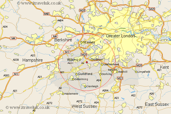
Surrey Map Showing Location of Wisley
Population: 204
District: Guildford
Easting: 506885 Northing: 156825
Latitude: 51.3 Longitude: -0.47
 = Wisley
District: Guildford
Easting: 506885 Northing: 156825
Latitude: 51.3 Longitude: -0.47
= Wisley
This Wisley map below is supplied by Google. Use the tools in the top left corner to zoom into street level or zoom out for a road map, you may also need to zoom in to see Wisley on the map. Click and drag the map to move around. If the map fails to load try and refresh your browser or zoom in or out (+ or -).
Update - it seems Google no longer allow people to use their maps for free! This Wisley map sometimes loads and sometimes gives a error. I am working on a solution.
Closest 30 Towns or Cities to Wisley (Population over 500)
Ripley 2.19km Byfleet 3.7km West Horsley 3.88km Church Cobham 3.94km Cobham 3.94km Woking 4.99km Send 4.99km East Horsley 6.02km Horsley 6.02km West Clandon 6.02km Ottershaw 7.24km Effingham 7.24km Weybridge 7.42km Addlestone 7.51km Oxshott 8.32km Esher 8.9km Shepperton 9.34km Worplesdon 9.46km Walton upon Thames 9.55km Walton 9.55km Chertsey 9.55km Claygate 9.83km Chilworth 9.89km St. Martha 9.89km Saint Martha 9.89km St Martha 9.89km Chobham 9.98km Leatherhead 10.59km Shere 11.12km Albury 11.18km