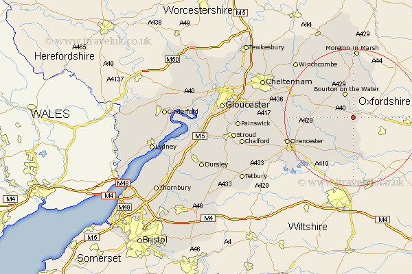
Gloucestershire Map Showing Location of Windrush
Population: 106
District: Cotswold
Easting: 419535 Northing: 211349
Latitude: 51.8 Longitude: -1.72
 = Windrush
District: Cotswold
Easting: 419535 Northing: 211349
Latitude: 51.8 Longitude: -1.72
= Windrush
This Windrush map below is supplied by Google. Use the tools in the top left corner to zoom into street level or zoom out for a road map, you may also need to zoom in to see Windrush on the map. Click and drag the map to move around. If the map fails to load try and refresh your browser or zoom in or out (+ or -).
Update - it seems Google no longer allow people to use their maps for free! This Windrush map sometimes loads and sometimes gives a error. I am working on a solution.
Closest 30 Towns or Cities to Windrush (Population over 500)
Bourton-on-the-Water 7.76km Bourton on the Water 7.76km Northleach 7.81km Bibury 8.85km Quenington 10.34km Bledington 10.89km Lechlade 11.18km Fairford 12.03km Chedworth 13.75km Stow on the Wold 14.87km Stow-on-the-Wold 14.87km Kempsford 15.22km Ampney St. Peter 15.98km Ampney 15.98km Ampney St Peter 15.98km Ampney Saint Peter 15.98km Withington 16.46km North Cerney 17.59km Andoversford 17.67km Cicester 19.79km Cirencester 19.79km Cerney 20.23km South Cerney 20.23km Moreton-in-Marsh 20.42km Moreton in the Marsh 20.42km Moreton in Marsh 20.42km Siddington 20.65km Winchcombe 23.13km Winchcomb 23.13km Blockley 24.2km