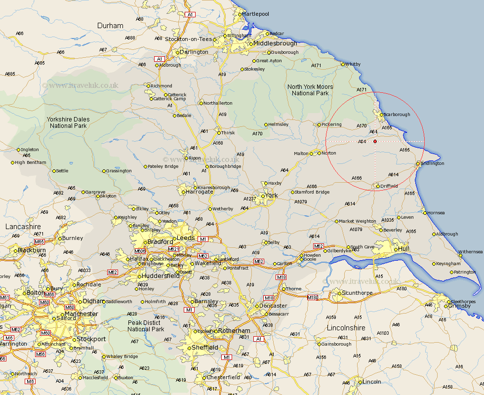
Yorkshire Map Showing Location of Willerby
Population: 708
District: Ryedale
Easting: 501141 Northing: 477519
Latitude: 54.18 Longitude: -0.45
 = Willerby
District: Ryedale
Easting: 501141 Northing: 477519
Latitude: 54.18 Longitude: -0.45
= Willerby
This Willerby map below is supplied by Google. Use the tools in the top left corner to zoom into street level or zoom out for a road map, you may also need to zoom in to see Willerby on the map. Click and drag the map to move around. If the map fails to load try and refresh your browser or zoom in or out (+ or -).
Update - it seems Google no longer allow people to use their maps for free! This Willerby map sometimes loads and sometimes gives a error. I am working on a solution.
Closest 30 Towns or Cities to Willerby (Population over 500)
Sherburn 4.72km Seamer 5.66km Eastfield 6.44km Brompton 7.49km Cayton 7.76km Hunmanby 8.87km Great Driffield 9.33km Snainton 9.43km Filey 10.88km Yedingham 11km Scalby 11.17km Scarborough 11.79km Burniston 14.87km Kilham 15.79km Rillington 16.69km Cloughton 16.71km Thornton-le-Dale 18.21km Thornton Dale 18.21km Bridlington 18.57km Nafferton 19.03km Bempton 19.27km Driffield 19.67km Norton 21.26km Wetwang 21.76km Pickering 21.88km Flamborough 23.6km Malton 24.09km North Frodingham 24.18km Cranswick 25.96km Fylingdales 26.51km