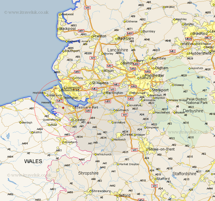
Cheshire Map Showing Location of Willaston
Population: 2699
Area Size (ha): 89
District: Ellesmere Port & Neston
Easting: 333337 Northing: 376755
Latitude: 53.28 Longitude: -3
 = Willaston
Area Size (ha): 89
District: Ellesmere Port & Neston
Easting: 333337 Northing: 376755
Latitude: 53.28 Longitude: -3
= Willaston
This Willaston map below is supplied by Google. Use the tools in the top left corner to zoom into street level or zoom out for a road map, you may also need to zoom in to see Willaston on the map. Click and drag the map to move around. If the map fails to load try and refresh your browser or zoom in or out (+ or -).
Update - it seems Google no longer allow people to use their maps for free! This Willaston map sometimes loads and sometimes gives a error. I am working on a solution.
Closest 30 Towns or Cities to Willaston (Population over 500)
Neston 3.32km Ellesmere Port 6.65km Bebington 7.5km Bebington and Bromborough 7.5km Heswall 7.61km Mollington 7.85km Saughall 8.12km Great Saughall 8.12km Chester 10.8km Elton 12.74km Birkenhead 13.16km Kirby 13.61km West Kirby 13.61km Dunham on the Hill 13.81km Dunham 13.81km Dunham-on-the-Hill 13.81km Greasby 13.84km Mickle Trafford 14.27km Hale 14.4km Moreton 15.11km Helsby 15.62km Christleton 15.71km Great Barrow 16.21km Barrow 16.21km Hoylake 16.49km Dodleston 17.01km Wallasey 17.26km Runcorn 17.52km Frodsham 17.82km Tarvin 18.08km