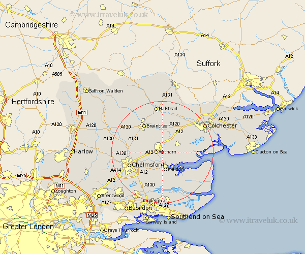
Essex Map Showing Location of Wickham Bishops
Population: 3673
Area Size (ha): 164
District: Maldon
Easting: 583917 Northing: 212818
Latitude: 51.78 Longitude: 0.67
 = Wickham Bishops
Area Size (ha): 164
District: Maldon
Easting: 583917 Northing: 212818
Latitude: 51.78 Longitude: 0.67
= Wickham Bishops
This Wickham Bishops map below is supplied by Google. Use the tools in the top left corner to zoom into street level or zoom out for a road map, you may also need to zoom in to see Wickham Bishops on the map. Click and drag the map to move around. If the map fails to load try and refresh your browser or zoom in or out (+ or -).
Update - it seems Google no longer allow people to use their maps for free! This Wickham Bishops map sometimes loads and sometimes gives a error. I am working on a solution.
Closest 30 Towns or Cities to Wickham Bishops (Population over 500)
Witham 2.29km Great Totham 2.95km Totham 2.95km Hatfield Peverel 4.59km Tiptree 4.95km Rivenhall 5.56km Heybridge 5.68km Kelvedon 6.02km Malden 7.49km Maldon 7.49km Tolleshunt Major 7.81km Goldhanger 7.99km Tolleshunt Knights 8.03km Feering 8.17km Terling 8.24km Boreham 8.24km Cressing 8.72km Little Baddow 8.85km Coggeshall 9.34km Tolleshunt D'Arcy 9.36km Woodham Mortimer 9.54km Bradwell 9.89km Rayne 10.9km Black Notley 10.92km Great Leighs 10.96km Danbury 11.54km Stisted 11.64km Birch 11.72km Copford 11.79km Tollesbury 12.05km