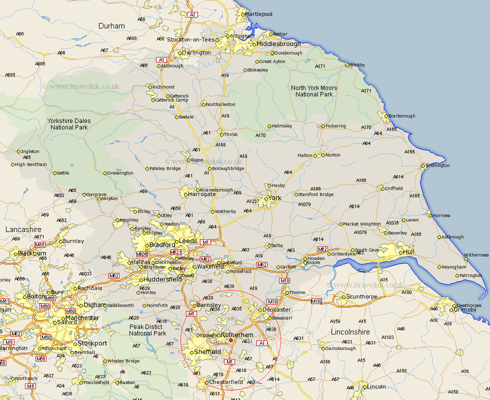
Yorkshire Map Showing Location of Wickersley
Population: 7235
District: Rotherham
Easting: 447626 Northing: 391367
Latitude: 53.42 Longitude: -1.28
 = Wickersley
District: Rotherham
Easting: 447626 Northing: 391367
Latitude: 53.42 Longitude: -1.28
= Wickersley
This Wickersley map below is supplied by Google. Use the tools in the top left corner to zoom into street level or zoom out for a road map, you may also need to zoom in to see Wickersley on the map. Click and drag the map to move around. If the map fails to load try and refresh your browser or zoom in or out (+ or -).
Update - it seems Google no longer allow people to use their maps for free! This Wickersley map sometimes loads and sometimes gives a error. I am working on a solution.
Closest 30 Towns or Cities to Wickersley (Population over 500)
Bramley 1.1km Whiston 3.8km Thrybergh 3.86km Brampton 3.87km Brampton en le Morthen 3.87km Brampton en le Morthern 3.87km Rotherdam 4.79km Rotherham 4.79km Rawmarsh 4.97km Maltby 5.52km Treeton 5.77km Braithwell 5.82km Orgreave 6.66km Conisborough 7.1km Conisbrough 7.1km Mexborough 7.49km Aston 7.5km Anston 7.58km Swinton 7.73km Todwick 7.74km Dinnington 7.84km Wales 9.27km Beighton 9.85km Wath-on-Dearne 10.26km Wath 10.26km Wath upon Dearne 10.26km Wath on Dearne 10.26km Wadsworth 10.44km Wadworth 10.44km Wentworth 10.44km