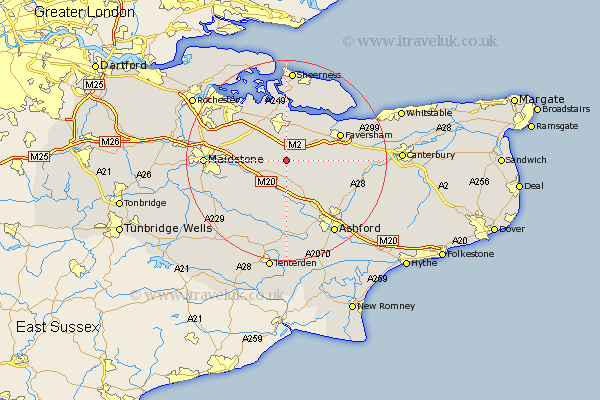
Kent Map Showing Location of Wichling
Population: 128
District: Maidstone
Easting: 591823 Northing: 155598
Latitude: 51.27 Longitude: 0.75
 = Wichling
District: Maidstone
Easting: 591823 Northing: 155598
Latitude: 51.27 Longitude: 0.75
= Wichling
This Wichling map below is supplied by Google. Use the tools in the top left corner to zoom into street level or zoom out for a road map, you may also need to zoom in to see Wichling on the map. Click and drag the map to move around. If the map fails to load try and refresh your browser or zoom in or out (+ or -).
Update - it seems Google no longer allow people to use their maps for free! This Wichling map sometimes loads and sometimes gives a error. I am working on a solution.
Closest 30 Towns or Cities to Wichling (Population over 500)
Doddington 1.16km Linsted 4.37km Lynsted 4.37km Lenham 4.38km Bredgar 5.08km Bapchild 5.68km Harrietsham 5.94km Tunstall 6.02km Borden 6.56km Hollingbourne 7.2km Sittingbourne 7.41km Charing 8.19km Teynham 8.74km Stockbury 8.9km Ospringe 8.92km Pluckley 9.27km Egerton 9.35km Bobbing 9.89km Leeds 10km Ulcombe 10.17km Oare 10.81km Newington 10.92km Iwade 11.18km Selling 11.6km Detling 11.74km Faversham 11.82km Langley 12.18km Lower Halstow 12.54km Bearsted 12.76km Upchurch 13.11km