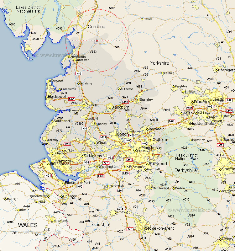
Lancashire Map Showing Location of Whittington
Population: 359
District: Lancaster
Easting: 360831 Northing: 474729
Latitude: 54.17 Longitude: -2.6
 = Whittington
District: Lancaster
Easting: 360831 Northing: 474729
Latitude: 54.17 Longitude: -2.6
= Whittington
This Whittington map below is supplied by Google. Use the tools in the top left corner to zoom into street level or zoom out for a road map, you may also need to zoom in to see Whittington on the map. Click and drag the map to move around. If the map fails to load try and refresh your browser or zoom in or out (+ or -).
Update - it seems Google no longer allow people to use their maps for free! This Whittington map sometimes loads and sometimes gives a error. I am working on a solution.
Closest 30 Towns or Cities to Whittington (Population over 500)
Over Kellet 10.31km Warton 11.47km Carnforth 12.2km Nether Kellet 12.27km Caton 13.47km Silverdale 14.1km Bolton le Sands 15.12km Lancaster 18.81km Morecambe 19.73km Morecombe 19.73km Overton 24.69km Middleton 26.18km Forton 26.9km Cockerham 27.94km Chipping 31.53km Garstang 31.59km Pilling 33.18km Grindleton 33.34km Waddington 33.71km Gisburn 33.87km Claughton on Brock 34.22km Claughton 34.22km Claughton-on-Brock 34.22km Catterall 35.09km Chatburn 35.49km Clitheroe 35.83km Preesall 36.69km Longridge 37.09km Barnoldswick 38.9km Goosnargh 39.16km