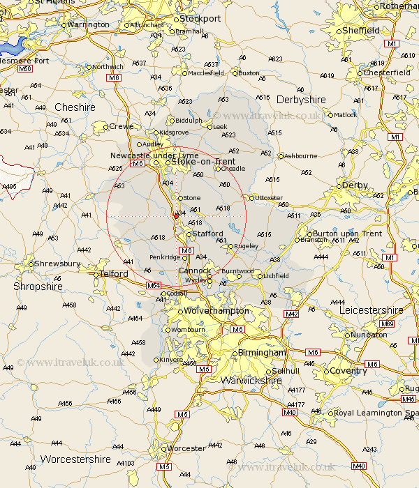
Staffordshire Map Showing Location of Whitgreave
Population: 188
District: Stafford
Easting: 389899 Northing: 328102
Latitude: 52.85 Longitude: -2.15
 = Whitgreave
District: Stafford
Easting: 389899 Northing: 328102
Latitude: 52.85 Longitude: -2.15
= Whitgreave
This Whitgreave map below is supplied by Google. Use the tools in the top left corner to zoom into street level or zoom out for a road map, you may also need to zoom in to see Whitgreave on the map. Click and drag the map to move around. If the map fails to load try and refresh your browser or zoom in or out (+ or -).
Update - it seems Google no longer allow people to use their maps for free! This Whitgreave map sometimes loads and sometimes gives a error. I am working on a solution.
Closest 30 Towns or Cities to Whitgreave (Population over 500)
Hopton 3.84km Seighford 4.33km Stone 5.67km Stafford 6.5km Eccleshall 6.72km Haughton 8.14km Swynnerton 8.66km Swinnerton 8.66km Hilderstone 8.66km Weston 9.15km Weston upon Trent 9.15km Gnossall 10.01km Gnosall 10.01km Bednall 10.82km Barlaston 11.18km Standon 11.62km Fulford 12.44km Church Eaton 12.45km High Offley 12.45km Penkridge 13.17km Colwich 13.43km Adbaston 13.56km Church Leigh 14.36km Leigh 14.36km Draycott in the Moors 15.15km Draycott 15.15km Wheaton Aston 15.49km Whitmore 15.76km Caverswall 15.84km Checkley 16.3km