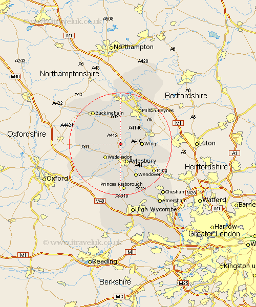
Buckinghamshire Map Showing Location of Whitchurch
Population: 857
District: Aylesbury Vale
Easting: 480291 Northing: 221218
Latitude: 51.88 Longitude: -0.83
 = Whitchurch
District: Aylesbury Vale
Easting: 480291 Northing: 221218
Latitude: 51.88 Longitude: -0.83
= Whitchurch
This Whitchurch map below is supplied by Google. Use the tools in the top left corner to zoom into street level or zoom out for a road map, you may also need to zoom in to see Whitchurch on the map. Click and drag the map to move around. If the map fails to load try and refresh your browser or zoom in or out (+ or -).
Update - it seems Google no longer allow people to use their maps for free! This Whitchurch map sometimes loads and sometimes gives a error. I am working on a solution.
Closest 30 Towns or Cities to Whitchurch (Population over 500)
North Marston 2.29km Mursley 5.68km Quainton 6.01km Stewkley 6.82km Aylesbury 7.75km Winslow 7.76km Waddesdon 7.98km Wing 8.01km Stone 9.33km Great Horwood 9.55km Soulbury 9.75km Newton Longville 10.34km Stoke Hammond 10.91km Grendon Underwood 11.59km Stoke Mandeville 11.64km Steeple Claydon 11.7km Claydon 11.7km Padbury 12.25km Aston Clinton 12.25km Buckland 12.25km Thornborough 12.5km Weston Turville 12.51km Cuddington 12.51km Great Brickhill 12.68km Cheddington 12.72km Bletchley 13.06km Halton 13.07km Marsworth 13.63km Shenley Brook End 13.76km Slapton 13.85km