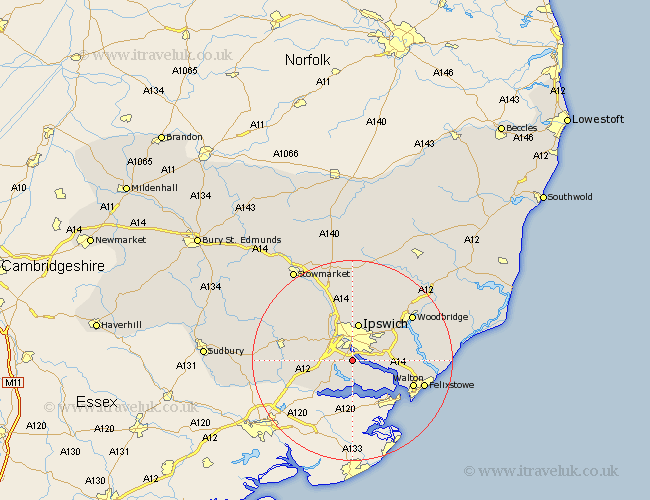
Suffolk Map Showing Location of Wherstead
Population: 352
District: Babergh
Easting: 616121 Northing: 240095
Latitude: 52.02 Longitude: 1.15
 = Wherstead
District: Babergh
Easting: 616121 Northing: 240095
Latitude: 52.02 Longitude: 1.15
= Wherstead
This Wherstead map below is supplied by Google. Use the tools in the top left corner to zoom into street level or zoom out for a road map, you may also need to zoom in to see Wherstead on the map. Click and drag the map to move around. If the map fails to load try and refresh your browser or zoom in or out (+ or -).
Update - it seems Google no longer allow people to use their maps for free! This Wherstead map sometimes loads and sometimes gives a error. I am working on a solution.
Closest 30 Towns or Cities to Wherstead (Population over 500)
Holbrook 3.88km Sprughton 5.04km Sproughton 5.04km Stutton 5.56km Nacton 5.7km Bentley 5.88km Chelmondiston 5.88km Capel Saint Mary 6km Capel St. Mary 6km Capel 6km Capel St Mary 6km Bramford 6.53km Bucklesham 7.09km Ipswich 7.49km Claydon 7.75km Hintlesham 7.78km Shotley 8.82km Manningtree 9.36km Wirnesham 9.54km Witnesham 9.54km Great Blakenham 9.87km Martlesham Heath 10.68km East Bergholt 10.69km Henley 11.12km Somersham 11.51km Grundisburgh 11.51km Kirkton 11.56km Kirton 11.56km Layham 12.55km Martlesham 12.65km