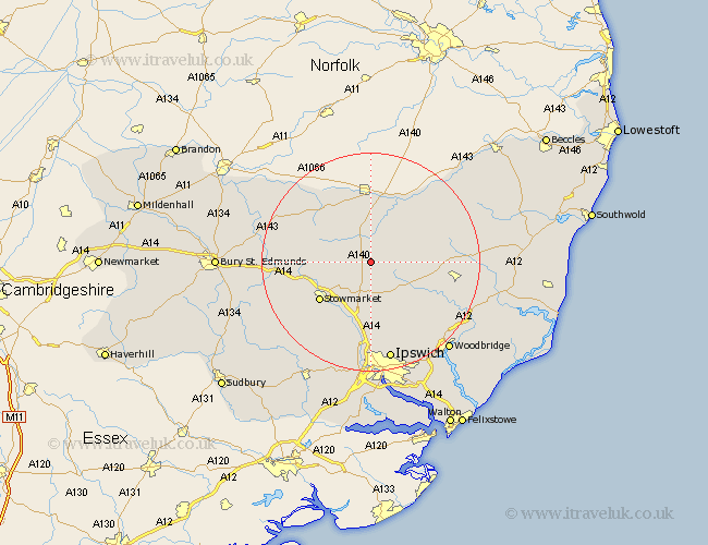
Suffolk Map Showing Location of Wetheringsett
District: Mid Suffolk
Easting: 612720 Northing: 265934
Latitude: 52.25 Longitude: 1.12
 = Wetheringsett
Easting: 612720 Northing: 265934
Latitude: 52.25 Longitude: 1.12
= Wetheringsett
This Wetheringsett map below is supplied by Google. Use the tools in the top left corner to zoom into street level or zoom out for a road map, you may also need to zoom in to see Wetheringsett on the map. Click and drag the map to move around. If the map fails to load try and refresh your browser or zoom in or out (+ or -).
Update - it seems Google no longer allow people to use their maps for free! This Wetheringsett map sometimes loads and sometimes gives a error. I am working on a solution.
Closest 30 Towns or Cities to Wetheringsett (Population over 500)
Mendlesham 3.4km Thorndon 3.87km Debenham 5.86km Bacton 7.05km Gislingham 7.18km Old Newton 7.75km Eye 7.76km Worlingworth 9.26km Haughley 9.81km Botesdale 11.49km Stowmarket 11.73km Wortham 12.01km Hoxne 12.48km Stradbroke 12.61km Dennington 12.62km Coddenham 12.98km Otley 13.67km Elmswell 13.74km Badwell Ash 14.1km Henley 15km Redgrave 15.21km Framlingham 15.21km Woolpit 15.21km Finborough 15.55km Great Finborough 15.55km Ringshall 15.84km Hepworth 16.46km Stanton 16.5km Fressingfield 16.7km Great Blakenham 16.72km