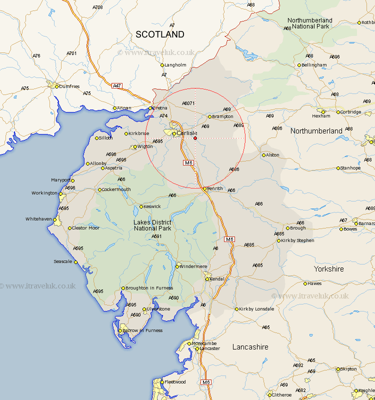
Cumbria Map Showing Location of Wetheral
Population: 5203
District: Carlisle
Easting: 347591 Northing: 552751
Latitude: 54.87 Longitude: -2.82
 = Wetheral
District: Carlisle
Easting: 347591 Northing: 552751
Latitude: 54.87 Longitude: -2.82
= Wetheral
This Wetheral map below is supplied by Google. Use the tools in the top left corner to zoom into street level or zoom out for a road map, you may also need to zoom in to see Wetheral on the map. Click and drag the map to move around. If the map fails to load try and refresh your browser or zoom in or out (+ or -).
Update - it seems Google no longer allow people to use their maps for free! This Wetheral map sometimes loads and sometimes gives a error. I am working on a solution.
Closest 30 Towns or Cities to Wetheral (Population over 500)
Hayton 5.65km Carlisle 7.69km Irthington 8.07km Stanwix 8.33km Ainstable 9.14km Farlam 10.18km Brampton 10.69km Dalston 11.3km Rockcliff 12.98km Rockcliffe 12.98km Kirkoswald 13.4km Thursby 15.39km Burgh 15.92km Burgh-by-Sands 15.92km Burgh by Sands 15.92km Lasonby 16.61km Lazonby 16.61km Longtown 17.65km Skelton 18.81km Hesket Newmarket 19.61km Caldbeck 21.06km Wigton 21.66km Westward 22.3km Langwathby 22.55km Greystoke 24.31km Kirkbride 24.59km Bowness-on-Solway 27.2km Bowness on Solway 27.2km Culgaith 27.82km Dacre 27.82km