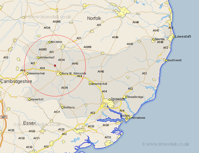
Suffolk Map Showing Location of West Stow
Population: 175
District: St. Edmundsbury
Easting: 581807 Northing: 270267
Latitude: 52.3 Longitude: 0.67
 = West Stow
District: St. Edmundsbury
Easting: 581807 Northing: 270267
Latitude: 52.3 Longitude: 0.67
= West Stow
This West Stow map below is supplied by Google. Use the tools in the top left corner to zoom into street level or zoom out for a road map, you may also need to zoom in to see West Stow on the map. Click and drag the map to move around. If the map fails to load try and refresh your browser or zoom in or out (+ or -).
Update - it seems Google no longer allow people to use their maps for free! This West Stow map sometimes loads and sometimes gives a error. I am working on a solution.
Closest 30 Towns or Cities to West Stow (Population over 500)
Risby 4.34km Fornham All Saints 4.34km Bury St Edmunds 6.52km Bury Saint Edmunds 6.52km Bury St. Edmunds 6.52km Great Barton 7.75km Troston 8.15km Barnham 8.69km Barrow 9.34km Honington 9.79km Ixworth 11.33km Rushbrooke 11.49km Mildenhall 11.61km Gazeley 11.62km Thurston 11.62km Chevington 11.63km Eriswell 11.71km Pakenham 11.93km Bardwell 12.6km Chedburgh 13.41km Moulton 13.66km Bradfield St George 14.35km Bradfield Saint George 14.35km Bradfield St. George 14.35km Bradfield 14.35km Norton 14.7km Stanton 15.97km Lake Heath 16.3km Lakenheath 16.3km Barningham 16.8km