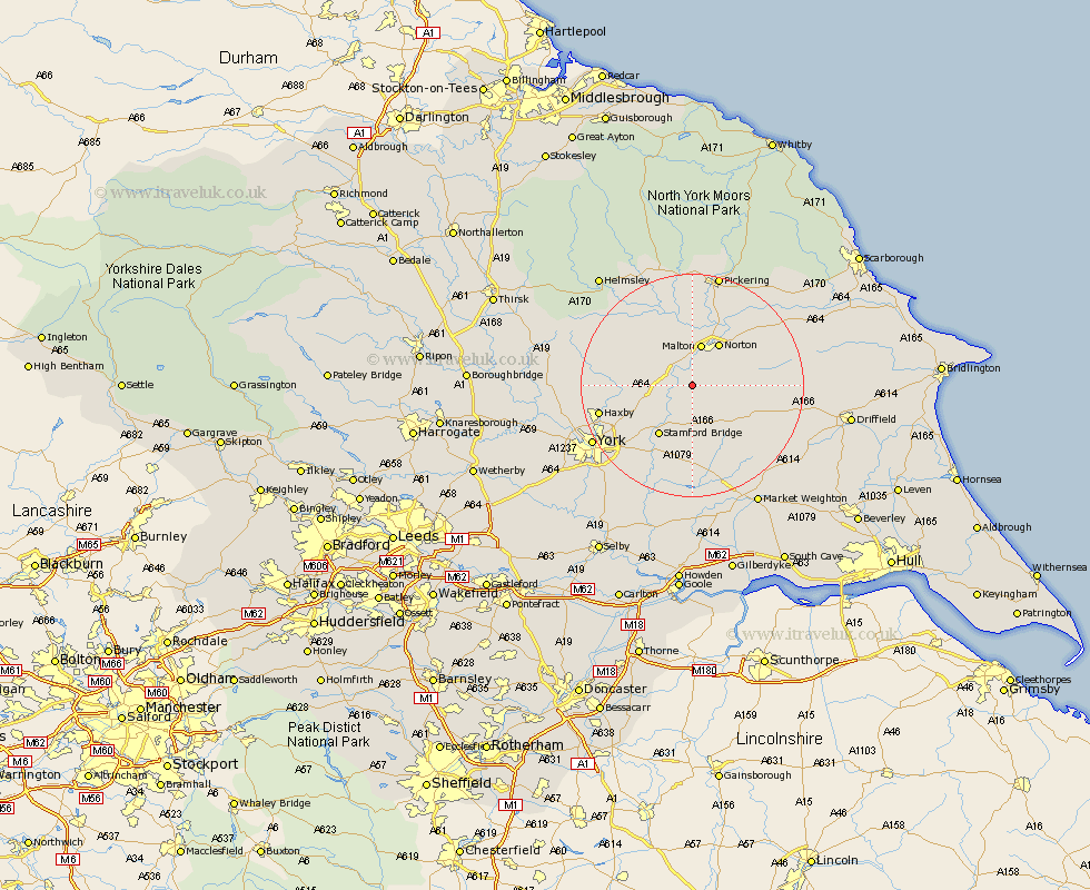
Yorkshire Map Showing Location of Westow
Population: 318
District: Ryedale
Easting: 476343 Northing: 464067
Latitude: 54.07 Longitude: -0.83
 = Westow
District: Ryedale
Easting: 476343 Northing: 464067
Latitude: 54.07 Longitude: -0.83
= Westow
This Westow map below is supplied by Google. Use the tools in the top left corner to zoom into street level or zoom out for a road map, you may also need to zoom in to see Westow on the map. Click and drag the map to move around. If the map fails to load try and refresh your browser or zoom in or out (+ or -).
Update - it seems Google no longer allow people to use their maps for free! This Westow map sometimes loads and sometimes gives a error. I am working on a solution.
Closest 30 Towns or Cities to Westow (Population over 500)
Malton 7.56km Norton 8.91km Terrington 10.32km Slingsby 10.74km Stamford Bridge 10.75km Sheriff Hutton 11.03km Fangfoss 11.12km Rillington 12.7km Strensall 13.19km Wilberfoss 13.38km Barmby 14.87km Barmby-on-the-Moor 14.87km Barmby on the Moor 14.87km Pocklington 15.8km Huntington 15.98km Earswick 15.98km Wigginton 16.22km Haxby 16.22km Sutton 17.55km Sutton upon Derwent 17.55km New Earswick 17.84km Heslington 18.42km Stillington 18.85km Wetwang 18.93km Huby 19.66km York 19.76km Thornton-le-Dale 20.02km Thornton Dale 20.02km Melbourne 20.42km Yedingham 20.47km