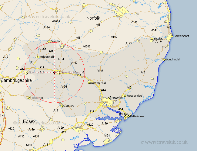
Suffolk Map Showing Location of Westley
Population: 189
District: St. Edmundsbury
Easting: 582012 Northing: 264707
Latitude: 52.25 Longitude: 0.67
 = Westley
District: St. Edmundsbury
Easting: 582012 Northing: 264707
Latitude: 52.25 Longitude: 0.67
= Westley
This Westley map below is supplied by Google. Use the tools in the top left corner to zoom into street level or zoom out for a road map, you may also need to zoom in to see Westley on the map. Click and drag the map to move around. If the map fails to load try and refresh your browser or zoom in or out (+ or -).
Update - it seems Google no longer allow people to use their maps for free! This Westley map sometimes loads and sometimes gives a error. I am working on a solution.
Closest 30 Towns or Cities to Westley (Population over 500)
Risby 2.93km Fornham All Saints 2.93km Bury St Edmunds 3.4km Bury Saint Edmunds 3.4km Bury St. Edmunds 3.4km Barrow 5.97km Chevington 6.52km Great Barton 7.05km Rushbrooke 7.75km Chedburgh 8.16km Gazeley 10.21km Thurston 10.21km Bradfield 10.65km Bradfield St George 10.65km Bradfield St. George 10.65km Bradfield Saint George 10.65km Troston 10.86km Pakenham 11.49km Lawshall 12.01km Moulton 12.48km Ixworth 12.63km Honington 12.96km Wickhambrook 13.04km Norton 13.61km Cockfield 13.67km Barnham 13.75km Bardwell 14.51km Mildenhall 15.09km Eriswell 15.83km Woolpit 16.32km