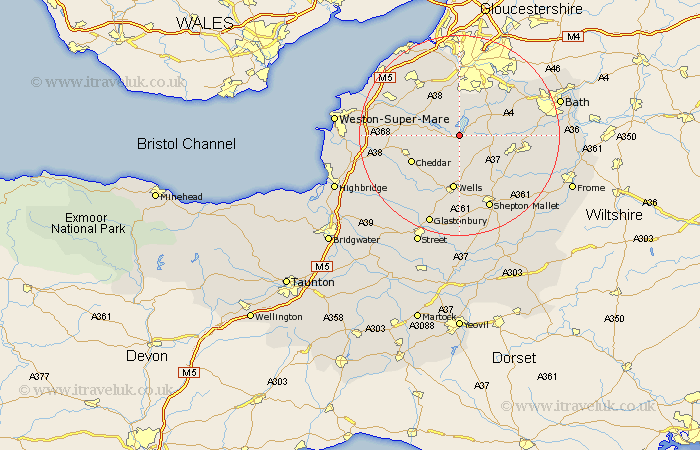
Somerset Map Showing Location of West Harptree
Population: 459
Easting: 355867 Northing: 157756
Latitude: 51.32 Longitude: -2.63
 = West Harptree
Easting: 355867 Northing: 157756
Latitude: 51.32 Longitude: -2.63
= West Harptree
This West Harptree map below is supplied by Google. Use the tools in the top left corner to zoom into street level or zoom out for a road map, you may also need to zoom in to see West Harptree on the map. Click and drag the map to move around. If the map fails to load try and refresh your browser or zoom in or out (+ or -).
Update - it seems Google no longer allow people to use their maps for free! This West Harptree map sometimes loads and sometimes gives a error. I am working on a solution.
Closest 30 Towns or Cities to West Harptree (Population over 500)
East Harptree 1.86km Compton Martin 2.19km Chew Stoke 3.7km Great Chew 5.68km Chew Magna 5.68km Blagdon 6.08km Chewton Mendip 6.56km Clutton 7.19km Temple Cloud 7.46km Winford 7.5km Farrington Gurney 7.88km Publow 8.9km Dundry 9.26km Farmboro 9.45km Farmborough 9.45km Paulton 9.45km Rodney Stoke 10.17km Whitchurch 10.35km Timsbury 10.42km Wrington 10.8km Stratton-on-the-Fosse 10.81km Stratton on the Fosse 10.81km Stratton 10.81km Chilcompton 10.81km Cheddar 10.81km Westbury 10.94km Compton Dando 10.98km Wells 11.18km Churchill 11.73km Shipham 11.73km