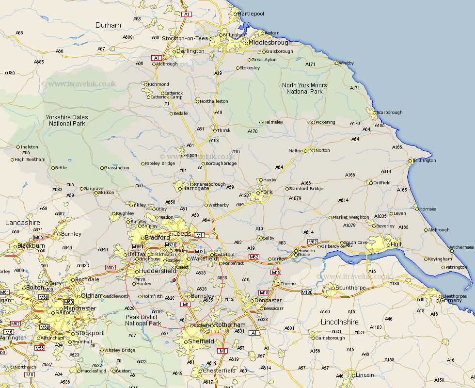
Yorkshire Map Showing Location of West Bretton
Population: 546
District: Wakefield
Easting: 428662 Northing: 413463
Latitude: 53.62 Longitude: -1.57
 = West Bretton
District: Wakefield
Easting: 428662 Northing: 413463
Latitude: 53.62 Longitude: -1.57
= West Bretton
This West Bretton map below is supplied by Google. Use the tools in the top left corner to zoom into street level or zoom out for a road map, you may also need to zoom in to see West Bretton on the map. Click and drag the map to move around. If the map fails to load try and refresh your browser or zoom in or out (+ or -).
Update - it seems Google no longer allow people to use their maps for free! This West Bretton map sometimes loads and sometimes gives a error. I am working on a solution.
Closest 30 Towns or Cities to West Bretton (Population over 500)
Crigglestone 2.87km Woolley 3.78km Middlestown 4.31km Middletown 4.31km Darton 4.31km Emley 4.4km Ossett 5.56km Cawthorne 5.67km Horbury 5.67km Notton 5.8km Shelley 7.92km Royston 7.92km Denby Dale 8.63km Ryhill 8.79km Kirkburton 8.99km Barnsley 9.23km Silkstone 9.27km Batley 9.28km Mirfield 9.49km Dodworth 9.53km Dewsbury 9.83km Drewsbury 9.83km Crofton 10.56km Shafton 10.57km Shepley 10.57km Wakefield 10.77km Stanley 10.77km Cudworth 11.35km Heckmondwike 11.37km Penistone 11.6km