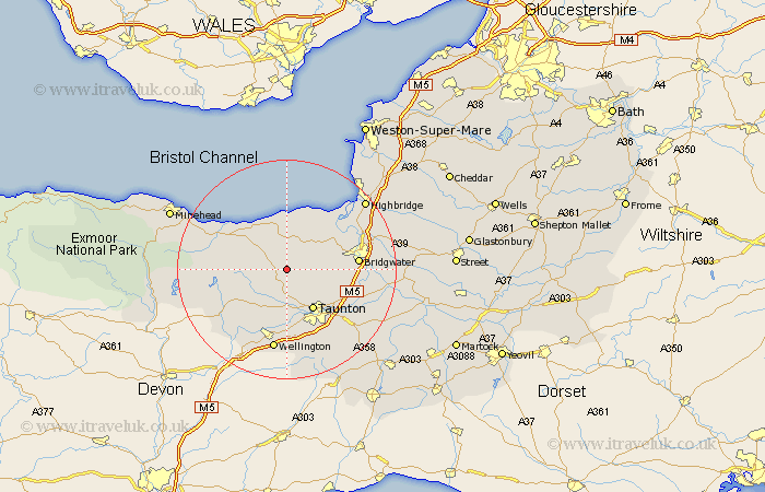
Somerset Map Showing Location of Bagborough
Population: 381
District: Taunton Deane
Easting: 317154 Northing: 134135
Latitude: 51.1 Longitude: -3.18
 = Bagborough
District: Taunton Deane
Easting: 317154 Northing: 134135
Latitude: 51.1 Longitude: -3.18
= Bagborough
This Bagborough map below is supplied by Google. Use the tools in the top left corner to zoom into street level or zoom out for a road map, you may also need to zoom in to see Bagborough on the map. Click and drag the map to move around. If the map fails to load try and refresh your browser or zoom in or out (+ or -).
Update - it seems Google no longer allow people to use their maps for free! This Bagborough map sometimes loads and sometimes gives a error. I am working on a solution.
Closest 30 Towns or Cities to Bagborough (Population over 500)
Bishops Lydeard 3.7km Spaxton 5.01km Nether Stowey 5.68km Kingston 5.95km Norton Fitzwarren 7.77km Taunton 8.76km Stogumber 8.95km Oake 9.34km Durleigh 9.49km Stogursey 9.9km Stokscourey 9.9km Stoke Courcy 9.9km Milverton 10.37km West Monkton 10.85km Otterhampton 11.6km North Petherton 11.64km Wiveliscombe 11.91km Trull 12.06km Watchet 12.83km Bridgewater 12.93km Bridgwater 12.93km Williton 13.32km West Buckland 14.82km Creech St. Michael 14.88km Creech St Michael 14.88km Creech Saint Michael 14.88km Wellington 15.01km Pitminster 15.54km Pawlett 15.79km Puriton 16.84km