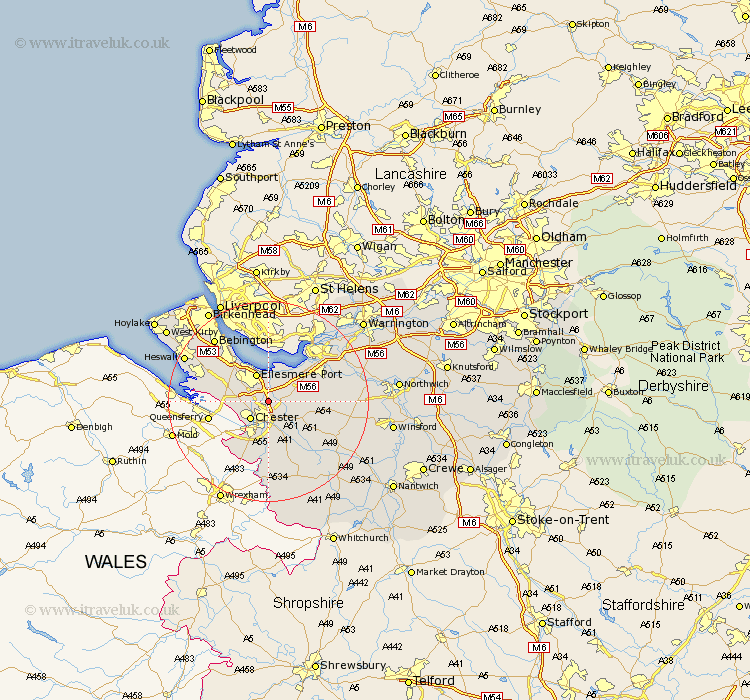
Cheshire Map Showing Location of Wervin
Population: 118
District: Chester
Easting: 342157 Northing: 371077
Latitude: 53.23 Longitude: -2.87
 = Wervin
District: Chester
Easting: 342157 Northing: 371077
Latitude: 53.23 Longitude: -2.87
= Wervin
This Wervin map below is supplied by Google. Use the tools in the top left corner to zoom into street level or zoom out for a road map, you may also need to zoom in to see Wervin on the map. Click and drag the map to move around. If the map fails to load try and refresh your browser or zoom in or out (+ or -).
Update - it seems Google no longer allow people to use their maps for free! This Wervin map sometimes loads and sometimes gives a error. I am working on a solution.
Closest 30 Towns or Cities to Wervin (Population over 500)
Mollington 3.33km Mickle Trafford 3.81km Elton 3.81km Dunham 4.81km Dunham-on-the-Hill 4.81km Dunham on the Hill 4.81km Chester 4.98km Barrow 5.78km Great Barrow 5.78km Saughall 5.85km Great Saughall 5.85km Ellesmere Port 5.99km Christleton 5.99km Tarvin 7.62km Helsby 7.62km Waverton 8.63km Ashton 9.07km Willaston 10.47km Frodsham 11.56km Hale 11.97km Kelsall 12.34km Kelsall Hill 12.34km Kelshall Hill 12.34km Dodleston 12.43km Weston 12.83km Neston 13.4km Delamere 13.44km Runcorn 13.56km Kingsley 13.82km Halton 14.45km