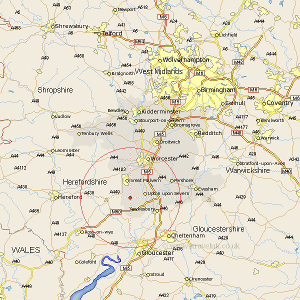
Worcestershire Map Showing Location of Welland
Population: 1136
District: Malvern Hills
Easting: 379429 Northing: 239156
Latitude: 52.05 Longitude: -2.3
 = Welland
District: Malvern Hills
Easting: 379429 Northing: 239156
Latitude: 52.05 Longitude: -2.3
= Welland
This Welland map below is supplied by Google. Use the tools in the top left corner to zoom into street level or zoom out for a road map, you may also need to zoom in to see Welland on the map. Click and drag the map to move around. If the map fails to load try and refresh your browser or zoom in or out (+ or -).
Update - it seems Google no longer allow people to use their maps for free! This Welland map sometimes loads and sometimes gives a error. I am working on a solution.
Closest 30 Towns or Cities to Welland (Population over 500)
Castlemorton 1.86km Malvern Wells 4.35km Hanley Castle 5.87km Upton 5.99km Upton upon Severn 5.99km Upton on Severn 5.99km Upton-on-Severn 5.99km Eldersfield 7.42km Great Malvern 7.5km Malvern 7.5km Severn Stoke 7.96km Seven Stoke 7.96km Ripple 8.19km Kempsey 11.51km Wadborough 12.65km Eckington 12.67km Bredon 12.68km Defford 13.07km Powick 13.42km Leigh 14.87km Suckley 15.23km Pershore 17.58km Peopleton 17.61km Worcester 18.02km Beckford 18.61km Hallow 18.85km Ashton-under-Hill 20.6km Ashton under Hill 20.6km Grimley 20.67km Fladbury 20.73km