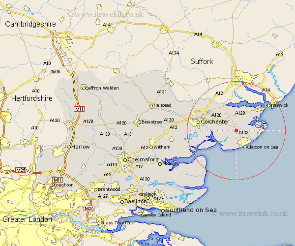
Essex Map Showing Location of Weeley
Population: 4309
Area Size (ha): 188
District: Tendring
Easting: 614629 Northing: 221464
Latitude: 51.85 Longitude: 1.12
 = Weeley
Area Size (ha): 188
District: Tendring
Easting: 614629 Northing: 221464
Latitude: 51.85 Longitude: 1.12
= Weeley
This Weeley map below is supplied by Google. Use the tools in the top left corner to zoom into street level or zoom out for a road map, you may also need to zoom in to see Weeley on the map. Click and drag the map to move around. If the map fails to load try and refresh your browser or zoom in or out (+ or -).
Update - it seems Google no longer allow people to use their maps for free! This Weeley map sometimes loads and sometimes gives a error. I am working on a solution.
Closest 30 Towns or Cities to Weeley (Population over 500)
Great Bentley 3.43km Thorpe le Soken 3.43km Little Clacton 3.88km Thorrington 5.72km Wix 6.01km St Osyth 6.01km Saint Osyth 6.01km St. Osyth 6.01km Great Bromley 6.82km Great Oakley 7.98km Brightlingsea 7.98km Clacton-on-Sea 8.17km Clacton on Sea 8.17km Clacton 8.17km Alresford 9.16km Bradfield 9.26km Frinton 9.35km Frinton-on-Sea 9.35km Frinton on Sea 9.35km Mistley 9.54km Wyvenhoe 10.3km Wivenhoe 10.3km Winehoe 10.3km Lawford 10.89km Little Oakley 10.91km Rowhedge 11.45km Walton-on-the-Naze 11.45km Walton on the Naze 11.45km Ardleigh 11.78km Fingringhoe 12.73km