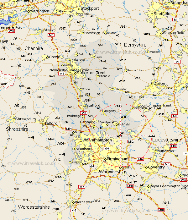
Staffordshire Map Showing Location of Weeford
Population: 202
District: Lichfield
Easting: 414667 Northing: 302164
Latitude: 52.62 Longitude: -1.78
 = Weeford
District: Lichfield
Easting: 414667 Northing: 302164
Latitude: 52.62 Longitude: -1.78
= Weeford
This Weeford map below is supplied by Google. Use the tools in the top left corner to zoom into street level or zoom out for a road map, you may also need to zoom in to see Weeford on the map. Click and drag the map to move around. If the map fails to load try and refresh your browser or zoom in or out (+ or -).
Update - it seems Google no longer allow people to use their maps for free! This Weeford map sometimes loads and sometimes gives a error. I am working on a solution.
Closest 30 Towns or Cities to Weeford (Population over 500)
Shenstone 3.85km Drayton Bassett 4.87km Fazeley 5.63km Tamworth 6.75km Whittington 7.49km Hammerwich 7.7km Wigginton 7.7km Lichfield 7.74km Elford 8.66km Aldridge 9.19km Brownhills 10.29km Burntwood 10.81km Pelsall 11.25km Rushall 11.41km Edingale 11.46km Alrewas 11.62km Longdon 13km Clifton Campville 13.46km Norton Canes 14.42km Armitage 14.61km Walsall 14.75km Wallsall 14.75km Yoxall 14.82km Wyrley 16.8km Great Wyrley 16.8km Hednesford 17.3km Cannock 17.4km West Bromwich 18.39km Colton 18.95km Huntington 19.24km