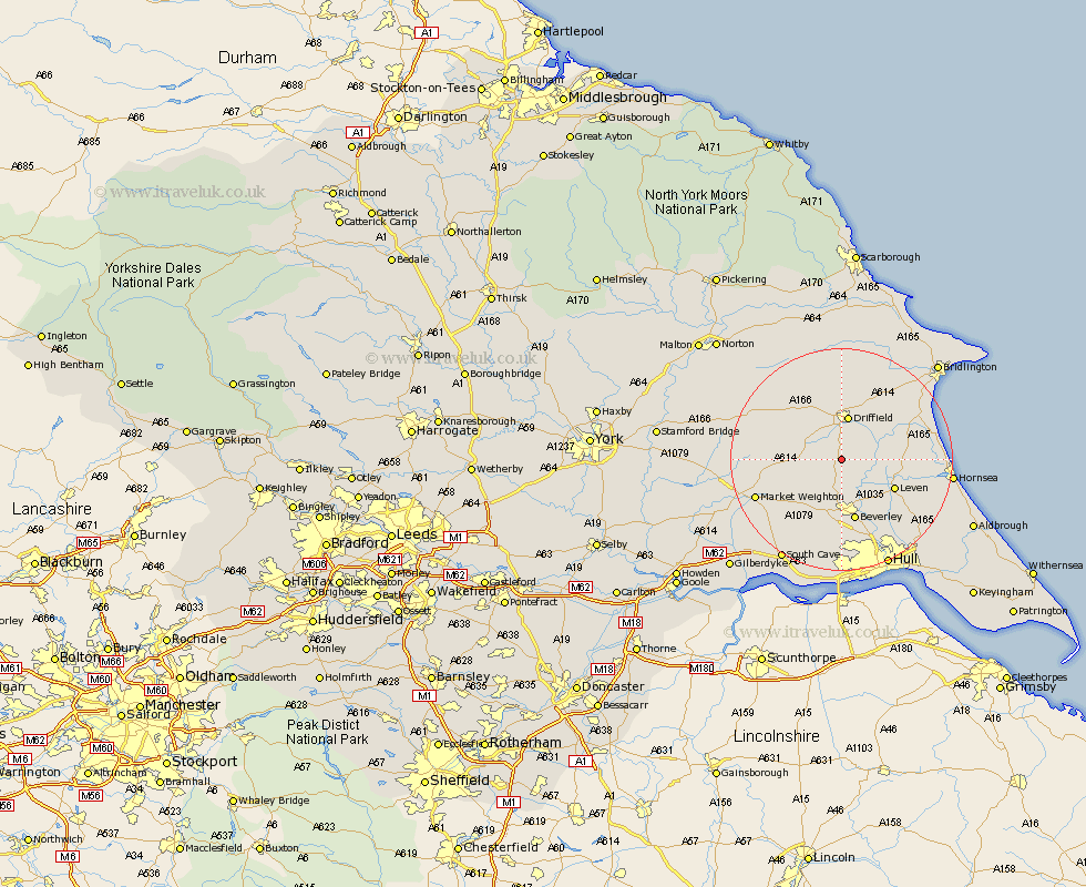
Yorkshire Map Showing Location of Watton
Population: 238
Easting: 501750 Northing: 449709
Latitude: 53.93 Longitude: -0.45
 = Watton
Easting: 501750 Northing: 449709
Latitude: 53.93 Longitude: -0.45
= Watton
This Watton map below is supplied by Google. Use the tools in the top left corner to zoom into street level or zoom out for a road map, you may also need to zoom in to see Watton on the map. Click and drag the map to move around. If the map fails to load try and refresh your browser or zoom in or out (+ or -).
Update - it seems Google no longer allow people to use their maps for free! This Watton map sometimes loads and sometimes gives a error. I am working on a solution.
Closest 30 Towns or Cities to Watton (Population over 500)
Cranswick 2.15km Lockington 4.3km North Frodingham 4.31km Leconfield 7.41km Leckonfield 7.41km Cherry Burton 8.1km Driffield 8.23km Tickton 8.6km Brandesburton 9.99km Brandsburton 9.99km Nafferton 10.24km Leven 10.35km Wetwang 10.64km Beverley 11.33km Bishop Burton 11.59km Beeford 12.56km Dunnington 13.22km Woodmansey 13.68km Kilham 14.07km Skipsea 15.71km Market Weighton 16.01km Wawne 16.21km Skidby 16.71km Cottingham 17.24km Skirlaugh Station 18.44km Willerby 18.52km Great Driffield 18.57km Sutton-on-Hull 18.83km Sutton on Hull 18.83km Sutton 18.83km