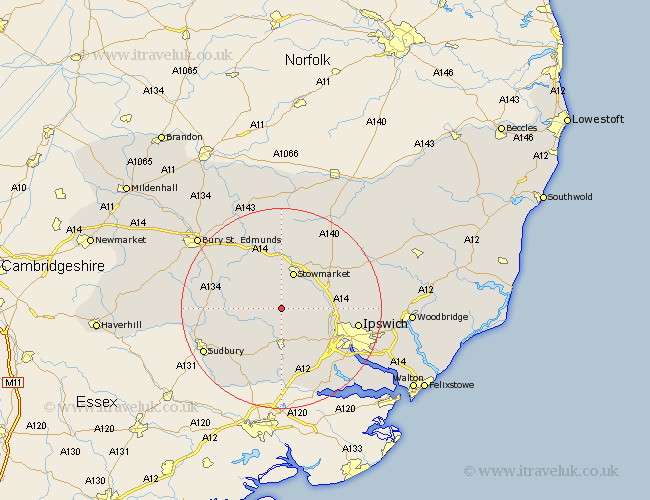
Suffolk Map Showing Location of Wattisham
Population: 99
District: Babergh
Easting: 601950 Northing: 250637
Latitude: 52.12 Longitude: 0.95
 = Wattisham
District: Babergh
Easting: 601950 Northing: 250637
Latitude: 52.12 Longitude: 0.95
= Wattisham
This Wattisham map below is supplied by Google. Use the tools in the top left corner to zoom into street level or zoom out for a road map, you may also need to zoom in to see Wattisham on the map. Click and drag the map to move around. If the map fails to load try and refresh your browser or zoom in or out (+ or -).
Update - it seems Google no longer allow people to use their maps for free! This Wattisham map sometimes loads and sometimes gives a error. I am working on a solution.
Closest 30 Towns or Cities to Wattisham (Population over 500)
Great Bricett 2.28km Ringshall 2.93km Bildeston 2.94km Hitcham 3.41km Great Finborough 5.68km Finborough 5.68km Somersham 7.08km Hadleigh 7.42km Stowmarket 7.75km Rattlesden 8.69km Hintlesham 10.08km Lavenham 10.41km Great Blakenham 10.41km Layham 11.18km Haughley 11.35km Coddenham 11.53km Woolpit 11.63km Bramford 11.66km Cockfield 11.96km Claydon 11.98km Old Newton 12.01km Boxford 12.49km Sproughton 12.65km Sprughton 12.65km Great Waldingfield 12.67km Waldingfield 12.67km Elmswell 13.16km Polstead 13.42km Henley 13.66km Bradfield St. George 13.8km