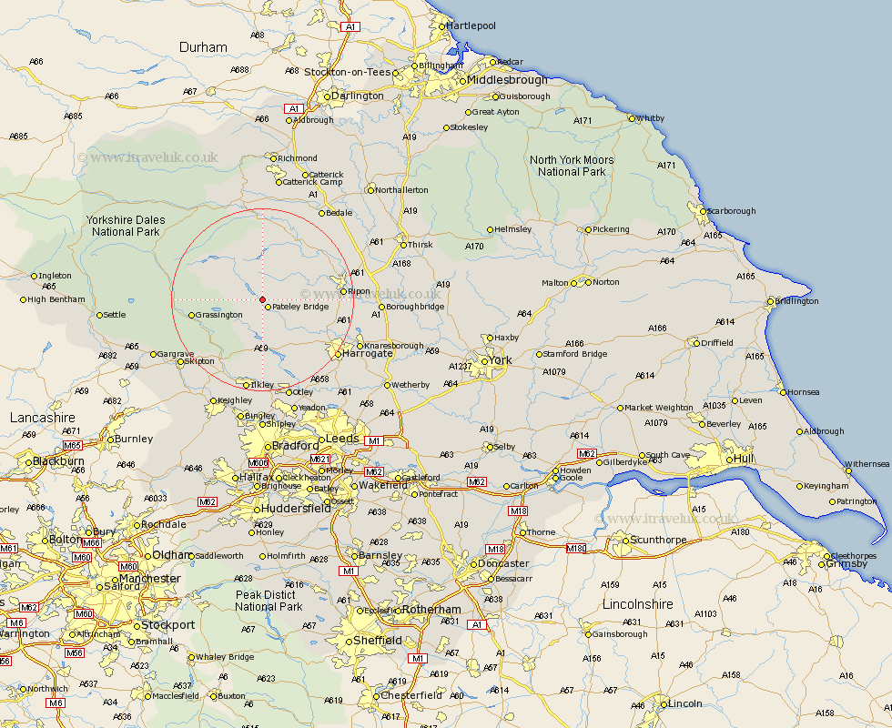
Yorkshire Map Showing Location of Wath
Population: 234
District: Harrogate
Easting: 415256 Northing: 467168
Latitude: 54.1 Longitude: -1.77
 = Wath
District: Harrogate
Easting: 415256 Northing: 467168
Latitude: 54.1 Longitude: -1.77
= Wath
This Wath map below is supplied by Google. Use the tools in the top left corner to zoom into street level or zoom out for a road map, you may also need to zoom in to see Wath on the map. Click and drag the map to move around. If the map fails to load try and refresh your browser or zoom in or out (+ or -).
Update - it seems Google no longer allow people to use their maps for free! This Wath map sometimes loads and sometimes gives a error. I am working on a solution.
Closest 30 Towns or Cities to Wath (Population over 500)
Bewerley 1.86km Dacre 6.45km Darley 8.6km Kirkby Malzeard 10.62km Grewelthorpe 11.98km Birstwith 12.28km Hampsthwaite 14.29km Grassington 14.61km Masham 15.04km Ripon 16.4km Killinghall 16.91km West Tanfield 17.13km Tanfield 17.13km Threshfield 17.23km Bishop Monkton 17.49km Monkton 17.49km Burton Leonard 17.78km Bradley 18.38km Harrogate 20.01km Addingham 20.04km Burley in Wharfedale 20.41km Burley 20.41km Embsay 20.49km Middleham 20.64km Ilkley 20.64km Skipton 22.05km Leyburn 22.48km Knaresborough 22.52km Pannal 22.59km Otley 22.9km