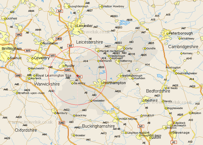
Northamptonshire Map Showing Location of Watford
Population: 224
District: Daventry
Easting: 460228 Northing: 267285
Latitude: 52.3 Longitude: -1.12
 = Watford
District: Daventry
Easting: 460228 Northing: 267285
Latitude: 52.3 Longitude: -1.12
= Watford
This Watford map below is supplied by Google. Use the tools in the top left corner to zoom into street level or zoom out for a road map, you may also need to zoom in to see Watford on the map. Click and drag the map to move around. If the map fails to load try and refresh your browser or zoom in or out (+ or -).
Update - it seems Google no longer allow people to use their maps for free! This Watford map sometimes loads and sometimes gives a error. I am working on a solution.
Closest 30 Towns or Cities to Watford (Population over 500)
Welton 2.93km Long Buckby 3.4km Crick 3.87km Kilsby 5.03km West Haddon 5.03km Barby 5.96km Braunston 5.96km Daventry 6.52km East Haddon 6.8km Yelvertoft 7.42km Flore 8.69km Guilsborough 8.75km Weedon 9.87km Weedon Beck 9.87km Badby 10.31km Spratton 11.48km Harpole 11.72km Naseby 12.96km Bugbrooke 13.04km Welford 13.74km Kislingbury 13.79km Brixworth 14.85km Boughton 14.85km Pitsford 15.87km Pattishall 16.31km Byfield 16.82km Northampton 16.82km Clipston 17.22km Gayton 18km Moulton 18.23km