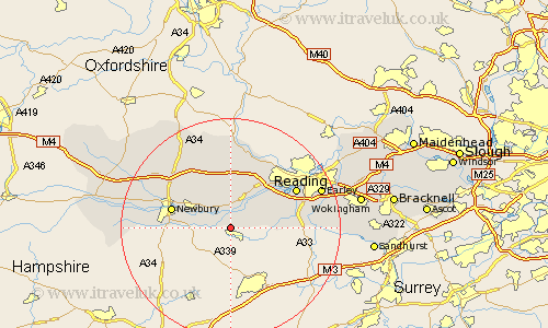
Berkshire Map Showing Location of Wasing
Population: 55
Easting: 458006 Northing: 163455
Latitude: 51.37 Longitude: -1.17
 = Wasing
Easting: 458006 Northing: 163455
Latitude: 51.37 Longitude: -1.17
= Wasing
This Wasing map below is supplied by Google. Use the tools in the top left corner to zoom into street level or zoom out for a road map, you may also need to zoom in to see Wasing on the map. Click and drag the map to move around. If the map fails to load try and refresh your browser or zoom in or out (+ or -).
Update - it seems Google no longer allow people to use their maps for free! This Wasing map sometimes loads and sometimes gives a error. I am working on a solution.
Closest 30 Towns or Cities to Wasing (Population over 500)
Brimpton 1.16km Aldermaston 2.18km Beenham 5.68km Bucklebury 7.76km Bradfield 7.76km Thatcham 7.87km Cold Ash 8.02km Greenham 8.31km Shaw 9.97km Burghfield 9.97km Theale 10.15km Mortimer 10.41km Stratfield Mortimer 10.41km Newbury 11.05km Hermitage 11.57km Tilehurst 13.09km Speen 13.25km Reading 13.73km Chieveley 13.93km Pangbourne 14.19km Swallowfield 15.04km Basildon 15.22km Shinfield 15.49km Streatley 16.72km Compton 17.65km Arborfield 17.74km Aberfield 17.74km Earley 17.8km Kintbury 18.6km Welford 18.65km