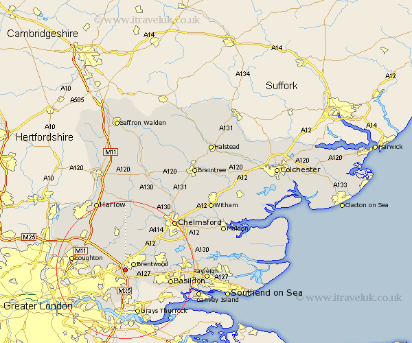
Essex Map Showing Location of Warley
District: Brentwood
Easting: 558120 Northing: 191539
Latitude: 51.6 Longitude: 0.28
 = Warley
Easting: 558120 Northing: 191539
Latitude: 51.6 Longitude: 0.28
= Warley
This Warley map below is supplied by Google. Use the tools in the top left corner to zoom into street level or zoom out for a road map, you may also need to zoom in to see Warley on the map. Click and drag the map to move around. If the map fails to load try and refresh your browser or zoom in or out (+ or -).
Update - it seems Google no longer allow people to use their maps for free! This Warley map sometimes loads and sometimes gives a error. I am working on a solution.
Closest 30 Towns or Cities to Warley (Population over 500)
Brentwood 2.96km Ingrave 3.92km Herongate 4.16km Navestock 5.06km Mountnessing 5.91km Kelvedon Hatch 7.42km Stanford Rivers 8.73km Billericay 9.39km Great Burstead 9.4km Ingatestone 10.13km South Ockendon 11.18km South Ockedon 11.18km High Ongar 11.18km Chipping Ongar 11.35km Ramsden Heath 11.66km Stock 11.75km Margaretting 13.06km Aveley 13.18km Basildon 13.2km Grays 13.43km Grays Thurrock 13.43km North Weald 13.73km Ongar Station 13.73km Chigwell 13.93km North Weald Bassett 14.43km Stanford le Hope 14.44km Corringham 14.6km Theydon Bois 14.67km Fyfield 14.87km Loughton 15.41km