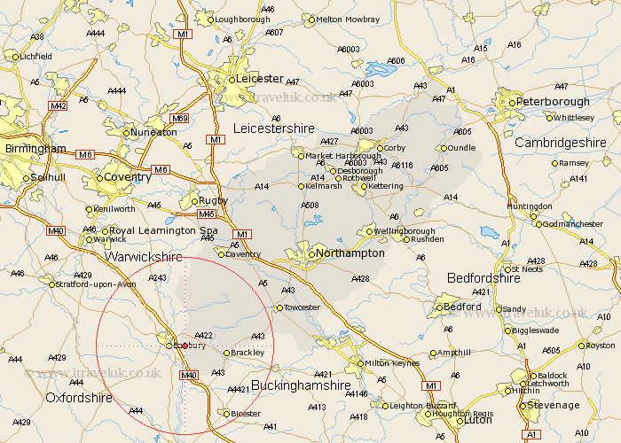
Northamptonshire Map Showing Location of Warkworth
Population: 31
District: South Northamptonshire
Easting: 449139 Northing: 239356
Latitude: 52.05 Longitude: -1.28
 = Warkworth
District: South Northamptonshire
Easting: 449139 Northing: 239356
Latitude: 52.05 Longitude: -1.28
= Warkworth
This Warkworth map below is supplied by Google. Use the tools in the top left corner to zoom into street level or zoom out for a road map, you may also need to zoom in to see Warkworth on the map. Click and drag the map to move around. If the map fails to load try and refresh your browser or zoom in or out (+ or -).
Update - it seems Google no longer allow people to use their maps for free! This Warkworth map sometimes loads and sometimes gives a error. I am working on a solution.
Closest 30 Towns or Cities to Warkworth (Population over 500)
Chacombe 3.7km Chalcombe 3.7km Kings Sutton 3.87km Greatworth 7.09km Chipping Warden 7.5km Aynho 7.76km Brackley 9.31km Croughton 9.36km Helmdon 10.9km Boddington 12.98km Upper Boddington 12.98km Byfield 13.42km Syresham 13.8km Silverstone 18.6km Badby 19.75km Whittlebury 20.84km Pattishall 22.36km Towcester 22.49km Daventry 23.62km Weedon 23.71km Weedon Beck 23.71km Paulerspury 24.21km Bugbrooke 24.69km Gayton 25.22km Flore 25.87km Braunston 26.56km Blisworth 27.2km Potterspury 27.41km Welton 27.49km Kislingbury 28.47km