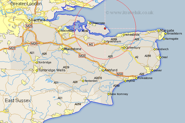
Kent Map Showing Location of Warden
Population: 1806
District: Swale
Easting: 601698 Northing: 170819
Latitude: 51.4 Longitude: 0.9
 = Warden
District: Swale
Easting: 601698 Northing: 170819
Latitude: 51.4 Longitude: 0.9
= Warden
This Warden map below is supplied by Google. Use the tools in the top left corner to zoom into street level or zoom out for a road map, you may also need to zoom in to see Warden on the map. Click and drag the map to move around. If the map fails to load try and refresh your browser or zoom in or out (+ or -).
Update - it seems Google no longer allow people to use their maps for free! This Warden map sometimes loads and sometimes gives a error. I am working on a solution.
Closest 30 Towns or Cities to Warden (Population over 500)
Leysdown 1.16km Leysdown on Sea 1.16km Leysdown-on-Sea 1.16km Eastchurch 2.31km Minster 6.07km Faversham 9.26km Oare 9.33km Teynham 9.41km Queenborough 9.43km Sheerness 9.96km Ospringe 11.36km Iwade 12.14km Whitstable 12.66km Sittingbourne 12.78km Chestfield 12.84km Bapchild 13.1km Lynsted 13.76km Linsted 13.76km Grain 13.87km Dunkirk 14.21km Selling 14.87km Bobbing 14.95km Blean 15.24km Tunstall 15.74km Harbledown 15.94km Lower Halstow 16.61km Herne Bay 16.61km Borden 16.69km Newington 17.12km Doddington 17.48km