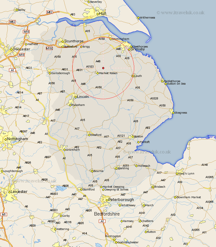
Lincolnshire Map Showing Location of Walesby
Population: 215
District: West Lindsey
Easting: 514077 Northing: 392500
Latitude: 53.42 Longitude: -0.28
 = Walesby
District: West Lindsey
Easting: 514077 Northing: 392500
Latitude: 53.42 Longitude: -0.28
= Walesby
This Walesby map below is supplied by Google. Use the tools in the top left corner to zoom into street level or zoom out for a road map, you may also need to zoom in to see Walesby on the map. Click and drag the map to move around. If the map fails to load try and refresh your browser or zoom in or out (+ or -).
Update - it seems Google no longer allow people to use their maps for free! This Walesby map sometimes loads and sometimes gives a error. I am working on a solution.
Closest 30 Towns or Cities to Walesby (Population over 500)
Market Rasen 4.98km Middle Rasen 6.66km binbrook 6.88km Caistor 7.73km Nettleton 7.73km South Kelsey 11.38km North Kelsey 11.52km Holton 13.39km Wragby 14.88km Laceby 15.09km Waddingham 15.89km North Thoresby 16.42km Waltham 16.46km Keelby 16.82km South Killingholme 17km Dunholm 17.79km Dunholme 17.79km Fulstow 18.05km Holton le Clay 18.15km Barnetby le Wold 18.38km Barnetby 18.38km Healing 18.38km Scothern 18.5km Louth 18.54km Welton 18.56km Hibaldstow 18.97km Tetney 19.15km Stallingborough 19.67km Brigg 19.87km Sudbrooke 20.02km