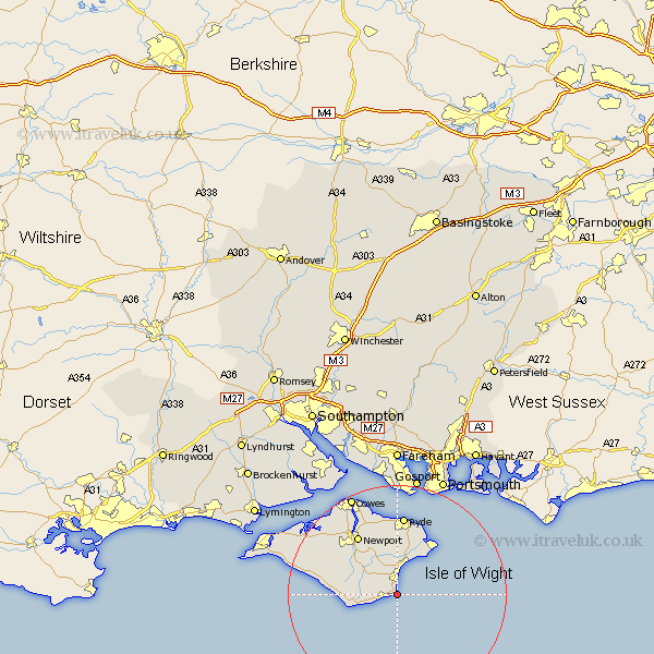
Hampshire Map Showing Location of Jentnor
Population: 5986
Area Size (ha): 233
Easting: 457790 Northing: 78192
Latitude: 50.6 Longitude: -1.18
 = Jentnor
Area Size (ha): 233
Easting: 457790 Northing: 78192
Latitude: 50.6 Longitude: -1.18
= Jentnor
This Jentnor map below is supplied by Google. Use the tools in the top left corner to zoom into street level or zoom out for a road map, you may also need to zoom in to see Jentnor on the map. Click and drag the map to move around. If the map fails to load try and refresh your browser or zoom in or out (+ or -).
Update - it seems Google no longer allow people to use their maps for free! This Jentnor map sometimes loads and sometimes gives a error. I am working on a solution.
Closest 30 Towns or Cities to Jentnor (Population over 500)
Shanklin 1.86km Wroxall 2.35km Godshill 5.06km Sandown 6.04km Niton 7.3km Newchurch 7.51km Arreton 8.78km Rookley 8.98km Brading 9.56km Chale 9.59km Bembridge 11.64km St Helens 12.07km Saint Helens 12.07km St. Helens 12.07km Shorwell 12.33km Newport 13.17km Wootton 13.45km Seaview 14.24km Brightstone 14.59km Brighstone 14.59km Ryde 14.87km Calbourne 16.99km Northwood 17.55km East Cowes 18.59km Shalfleet 18.89km Gurnard 19.14km Cowes 20.28km Southsea 21.98km Lee on Solent 22.27km Lee-on-Solent 22.27km