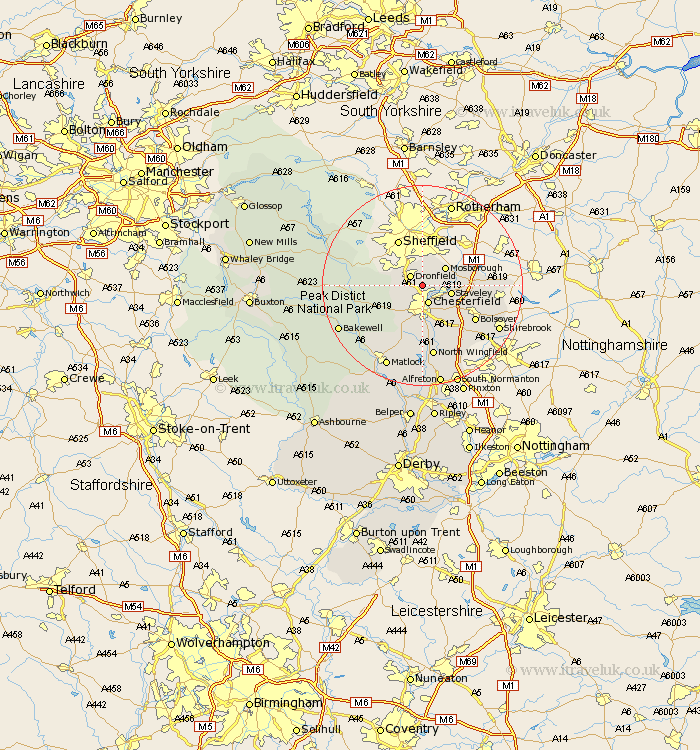
Derbyshire Map Showing Location of Unstone
Population: 1804
District: North East Derbyshire
Easting: 437776 Northing: 376438
Latitude: 53.28 Longitude: -1.43
 = Unstone
District: North East Derbyshire
Easting: 437776 Northing: 376438
Latitude: 53.28 Longitude: -1.43
= Unstone
This Unstone map below is supplied by Google. Use the tools in the top left corner to zoom into street level or zoom out for a road map, you may also need to zoom in to see Unstone on the map. Click and drag the map to move around. If the map fails to load try and refresh your browser or zoom in or out (+ or -).
Update - it seems Google no longer allow people to use their maps for free! This Unstone map sometimes loads and sometimes gives a error. I am working on a solution.
Closest 30 Towns or Cities to Unstone (Population over 500)
Dronfield 2.89km Barlow 3.8km Chesterfield 3.86km Brimington 4.32km Eckington 4.8km Holmesfield 5.54km Mosbrough 5.78km Mosborough 5.78km Staveley 5.84km Old Brampton 7.11km Brampton 7.11km Walton 7.73km Killamarsh 8.6km Wingerworth 9.26km Barlborough 9.97km Heath 11.4km Clowne 12.33km Bolsover 12.43km Elmton 12.74km Grindleford Bridge 13.3km Grindleford 13.3km Ashover 13.39km Baslow 13.4km Ault Hucknall 14.23km Whitwell 14.4km Stoney Middleton 14.52km Stony Middleton 14.52km North Wingfield 14.6km Clay Cross 14.86km Hathersage 14.87km