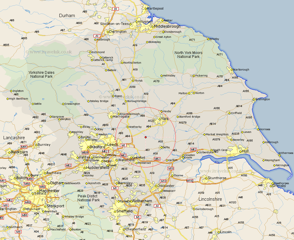
Yorkshire Map Showing Location of Ulleskelf
Population: 840
District: Selby
Easting: 451525 Northing: 439614
Latitude: 53.85 Longitude: -1.22
 = Ulleskelf
District: Selby
Easting: 451525 Northing: 439614
Latitude: 53.85 Longitude: -1.22
= Ulleskelf
This Ulleskelf map below is supplied by Google. Use the tools in the top left corner to zoom into street level or zoom out for a road map, you may also need to zoom in to see Ulleskelf on the map. Click and drag the map to move around. If the map fails to load try and refresh your browser or zoom in or out (+ or -).
Update - it seems Google no longer allow people to use their maps for free! This Ulleskelf map sometimes loads and sometimes gives a error. I am working on a solution.
Closest 30 Towns or Cities to Ulleskelf (Population over 500)
Ulleskelf 0km Church Fenton 3.7km Tadcaster 4.95km Sherburn in Elmet 5.97km Sherburn 5.97km Cawood 6.82km Aberford 8.5km Wistow 8.5km Copmanthorpe 9.21km Acaster Malbis 9.46km Micklefield 9.46km Bramham 9.49km South Milford 9.52km Hambleton 9.83km Boston Spa 10.36km Thorp Arch 10.65km Thorpe Arch 10.65km Riccall 11.09km Monk Fryston 11.17km Long Marston 11.17km Rufforth 11.17km Escrick 11.54km Bishopthorpe 12.01km Bishopthorne 12.01km Selby 12.33km Brayton 12.75km Thorner 13.12km Wetherby 13.2km Garforth 13.22km Collingham 13.24km