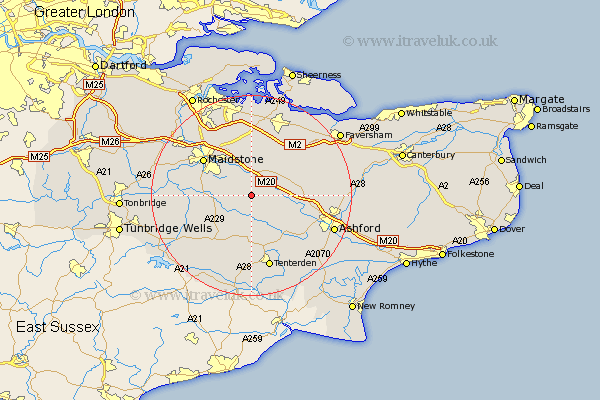
Kent Map Showing Location of Ulcombe
Population: 862
District: Maidstone
Easting: 585116 Northing: 147926
Latitude: 51.2 Longitude: 0.65
 = Ulcombe
District: Maidstone
Easting: 585116 Northing: 147926
Latitude: 51.2 Longitude: 0.65
= Ulcombe
This Ulcombe map below is supplied by Google. Use the tools in the top left corner to zoom into street level or zoom out for a road map, you may also need to zoom in to see Ulcombe on the map. Click and drag the map to move around. If the map fails to load try and refresh your browser or zoom in or out (+ or -).
Update - it seems Google no longer allow people to use their maps for free! This Ulcombe map sometimes loads and sometimes gives a error. I am working on a solution.
Closest 30 Towns or Cities to Ulcombe (Population over 500)
Leeds 4.37km Harrietsham 4.37km Sutton Valence 4.64km Hollingbourne 5.56km Langley 5.94km Lenham 5.94km Headcorn 6.03km Egerton 6.1km Pluckley 7.21km Smarden 7.77km Boughton Monchelsea 8.34km Frittenden 8.75km Bearsted 9.41km Linton 9.47km Staplehurst 9.85km Loose 10km Detling 10.36km Charing 10.45km Doddington 11km Marden 11.09km Biddenden 11.18km Boxley 11.59km Hunton 11.61km Bredgar 11.65km Maidstone 11.88km Bethersden 12.33km Hothfield 12.88km Stockbury 12.98km Borden 13.44km Tunstall 13.78km