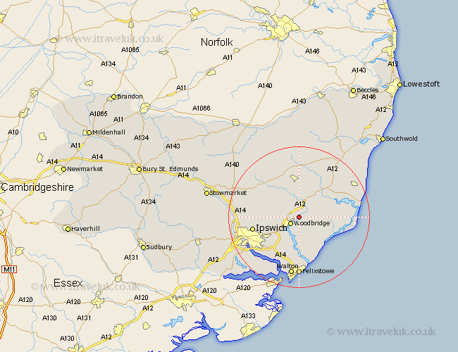
Suffolk Map Showing Location of Ufford
Population: 808
District: Suffolk Coastal
Easting: 629326 Northing: 251826
Latitude: 52.12 Longitude: 1.35
 = Ufford
District: Suffolk Coastal
Easting: 629326 Northing: 251826
Latitude: 52.12 Longitude: 1.35
= Ufford
This Ufford map below is supplied by Google. Use the tools in the top left corner to zoom into street level or zoom out for a road map, you may also need to zoom in to see Ufford on the map. Click and drag the map to move around. If the map fails to load try and refresh your browser or zoom in or out (+ or -).
Update - it seems Google no longer allow people to use their maps for free! This Ufford map sometimes loads and sometimes gives a error. I am working on a solution.
Closest 30 Towns or Cities to Ufford (Population over 500)
Melton 2.94km Woodbridge 2.94km Wickham Market 3.87km Rendlesham 4.55km Martlesham 5.05km Sutton 5.56km Tunstall 7.07km Grundisburgh 7.08km Martlesham Heath 7.19km Otley 8.78km Hollesley 9.35km Framlingham 11.18km Bucklesham 11.52km Witnesham 11.53km Wirnesham 11.53km Snape 12.63km Ipswich 13.06km Orford 13.06km Kirkton 13.17km Kirton 13.17km Henley 13.66km Nacton 13.68km Saxmundham 15.11km Debenham 15.9km Coddenham 16.04km Claydon 16.36km Felixstowe 16.68km Walton 16.8km Dennington 17.02km Great Blakenham 17.17km