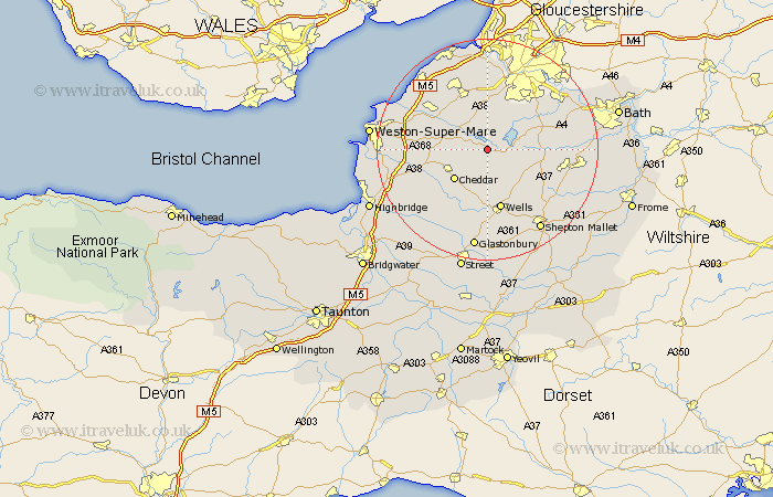
Somerset Map Showing Location of Ubley
Population: 335
Easting: 352382 Northing: 157787
Latitude: 51.32 Longitude: -2.68
 = Ubley
Easting: 352382 Northing: 157787
Latitude: 51.32 Longitude: -2.68
= Ubley
This Ubley map below is supplied by Google. Use the tools in the top left corner to zoom into street level or zoom out for a road map, you may also need to zoom in to see Ubley on the map. Click and drag the map to move around. If the map fails to load try and refresh your browser or zoom in or out (+ or -).
Update - it seems Google no longer allow people to use their maps for free! This Ubley map sometimes loads and sometimes gives a error. I am working on a solution.
Closest 30 Towns or Cities to Ubley (Population over 500)
Blagdon 2.96km Compton Martin 2.97km East Harptree 3.94km Chew Stoke 5.08km Chew Magna 7.24km Great Chew 7.24km Winford 7.76km Wrington 8.03km Cheddar 8.03km Rodney Stoke 8.19km Churchill 8.31km Shipham 8.32km Chewton Mendip 8.9km Axbridge 8.92km Priddy 9.41km Westbury 9.56km Congresbury 9.83km Dundry 9.89km Sandford 10.58km Clutton 10.59km Temple Cloud 10.82km Farrington Gurney 11.07km Bourton 11.18km Flax Bourton 11.18km Wells 11.36km Publow 11.81km Weare 11.82km Yatton 11.86km Whitchurch 12.31km Banwell 12.74km