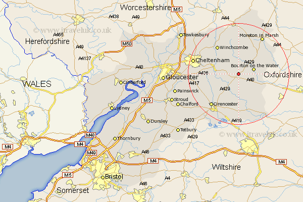
Gloucestershire Map Showing Location of Turkdean
Population: 87
District: Cotswold
Easting: 411479 Northing: 216885
Latitude: 51.85 Longitude: -1.83
 = Turkdean
District: Cotswold
Easting: 411479 Northing: 216885
Latitude: 51.85 Longitude: -1.83
= Turkdean
This Turkdean map below is supplied by Google. Use the tools in the top left corner to zoom into street level or zoom out for a road map, you may also need to zoom in to see Turkdean on the map. Click and drag the map to move around. If the map fails to load try and refresh your browser or zoom in or out (+ or -).
Update - it seems Google no longer allow people to use their maps for free! This Turkdean map sometimes loads and sometimes gives a error. I am working on a solution.
Closest 30 Towns or Cities to Turkdean (Population over 500)
Northleach 2.18km Bourton-on-the-Water 6.01km Bourton on the Water 6.01km Chedworth 7.98km Andoversford 8.22km Withington 8.23km Bibury 11.18km Stow on the Wold 11.53km Stow-on-the-Wold 11.53km North Cerney 13.03km Winchcomb 13.7km Winchcombe 13.7km Bledington 14.22km Quenington 15.22km Charlton Kings 16.13km Cicester 16.58km Cirencester 16.58km Ampney 17.03km Ampney St. Peter 17.03km Ampney Saint Peter 17.03km Ampney St Peter 17.03km Fairford 17.03km Leckhampton 17.27km Moreton-in-Marsh 17.42km Moreton in the Marsh 17.42km Moreton in Marsh 17.42km Southam 17.52km Cheltenham 18.04km Alderton 18.72km Lechlade 19.04km