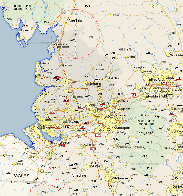
Lancashire Map Showing Location of Tunstall
Population: 251
District: Lancaster
Easting: 360815 Northing: 472871
Latitude: 54.15 Longitude: -2.6
 = Tunstall
District: Lancaster
Easting: 360815 Northing: 472871
Latitude: 54.15 Longitude: -2.6
= Tunstall
This Tunstall map below is supplied by Google. Use the tools in the top left corner to zoom into street level or zoom out for a road map, you may also need to zoom in to see Tunstall on the map. Click and drag the map to move around. If the map fails to load try and refresh your browser or zoom in or out (+ or -).
Update - it seems Google no longer allow people to use their maps for free! This Tunstall map sometimes loads and sometimes gives a error. I am working on a solution.
Closest 30 Towns or Cities to Tunstall (Population over 500)
Over Kellet 9.44km Warton 11.01km Nether Kellet 11.25km Carnforth 11.47km Caton 11.99km Bolton le Sands 14.06km Silverdale 14.23km Lancaster 17.54km Morecombe 18.75km Morecambe 18.75km Overton 23.33km Middleton 24.9km Forton 25.25km Cockerham 26.36km Chipping 29.68km Garstang 29.85km Grindleton 31.7km Pilling 31.75km Waddington 31.98km Claughton on Brock 32.41km Claughton 32.41km Claughton-on-Brock 32.41km Gisburn 32.47km Catterall 33.33km Chatburn 33.86km Clitheroe 34.11km Longridge 35.23km Preesall 35.3km Goosnargh 37.32km Barnoldswick 37.59km