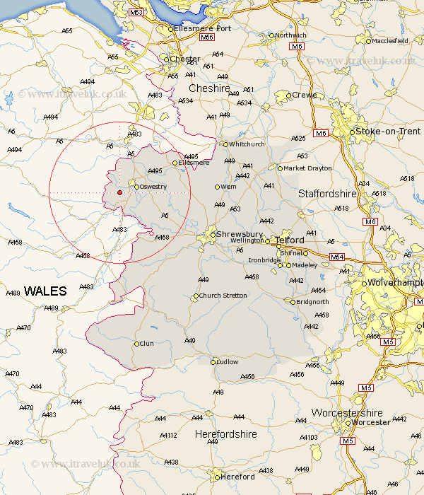
Shropshire Map Showing Location of Trefonen
District: Oswestry
Easting: 325902 Northing: 326801
Latitude: 52.83 Longitude: -3.1
 = Trefonen
Easting: 325902 Northing: 326801
Latitude: 52.83 Longitude: -3.1
= Trefonen
This Trefonen map below is supplied by Google. Use the tools in the top left corner to zoom into street level or zoom out for a road map, you may also need to zoom in to see Trefonen on the map. Click and drag the map to move around. If the map fails to load try and refresh your browser or zoom in or out (+ or -).
Update - it seems Google no longer allow people to use their maps for free! This Trefonen map sometimes loads and sometimes gives a error. I am working on a solution.
Closest 30 Towns or Cities to Trefonen (Population over 500)
Oswestry 4.85km St. Martins 5.19km St Martins 5.19km Saint Martins 5.19km Pant 5.99km Llanyblodwel 5.99km Gobowen 7.14km Selattyn 7.5km Whittington 7.67km West Felton 8.05km Kinnerley 9.61km Great Ness 15.35km Alberbury 16.43km Baschurch 16.64km Cockshut 16.89km Cockshutt 16.89km Ellesmere 17.25km Welshampton 18.35km Westbury 19.5km Ford 21.24km Loppington 21.59km Bicton 22.06km Minsterley 24.91km Pontesbury 25.06km Great Hanwood 25.33km Hanwood 25.33km Wem 25.81km Whixall 26.78km Hadnall 26.81km Chirbury 27.82km