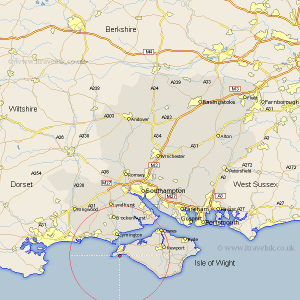
Hampshire Map Showing Location of Totland
Population: 7342
Area Size (ha): 277
Easting: 432976 Northing: 85393
Latitude: 50.67 Longitude: -1.53
 = Totland
Area Size (ha): 277
Easting: 432976 Northing: 85393
Latitude: 50.67 Longitude: -1.53
= Totland
This Totland map below is supplied by Google. Use the tools in the top left corner to zoom into street level or zoom out for a road map, you may also need to zoom in to see Totland on the map. Click and drag the map to move around. If the map fails to load try and refresh your browser or zoom in or out (+ or -).
Update - it seems Google no longer allow people to use their maps for free! This Totland map sometimes loads and sometimes gives a error. I am working on a solution.
Closest 30 Towns or Cities to Totland (Population over 500)
Freshwater 1.17km Yarmouth 4.39km Milford 7.72km Milford-on-Sea 7.72km Milford on Sea 7.72km Lymington 9.34km Calbourne 9.4km Shalfleet 10.1km Hordle 10.38km Barton 10.91km Barton on Sea 10.91km Barton-on-Sea 10.91km Milton 11.06km New Milton 11.06km Boldre 11.12km Brightstone 11.21km Brighstone 11.21km Shorwell 13.45km Sway 13.79km Brockenhurst 16.84km Northwood 16.96km Beaulieu 17.68km Bewley 17.68km Rookley 17.72km Gurnard 17.85km Chale 17.88km Newport 18km East Cowes 18.86km Bransgore 19.14km Cowes 19.84km