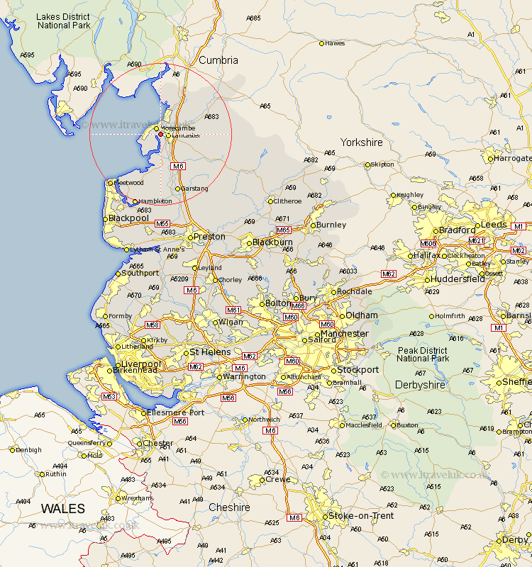
Lancashire Map Showing Location of Torrisholme
District: Lancaster
Easting: 345446 Northing: 461901
Latitude: 54.05 Longitude: -2.83
 = Torrisholme
Easting: 345446 Northing: 461901
Latitude: 54.05 Longitude: -2.83
= Torrisholme
This Torrisholme map below is supplied by Google. Use the tools in the top left corner to zoom into street level or zoom out for a road map, you may also need to zoom in to see Torrisholme on the map. Click and drag the map to move around. If the map fails to load try and refresh your browser or zoom in or out (+ or -).
Update - it seems Google no longer allow people to use their maps for free! This Torrisholme map sometimes loads and sometimes gives a error. I am working on a solution.
Closest 30 Towns or Cities to Torrisholme (Population over 500)
Lancaster 1.99km Morecombe 2.15km Morecambe 2.15km Bolton le Sands 4.94km Overton 5.66km Middleton 6.45km Nether Kellet 7.78km Caton 7.84km Carnforth 8.6km Over Kellet 9.88km Warton 10.23km Cockerham 11.17km Forton 11.59km Silverdale 13.02km Pilling 14.07km Preesall 17.2km Garstang 17.24km Fleetwood 19.62km Catterall 20.84km Hambleton 21.41km Claughton on Brock 21.76km Claughton-on-Brock 21.76km Claughton 21.76km Eccleston 22.35km Great Eccleston 22.35km Thornton 23.65km Inskip 24.1km Elswick 24.32km Chipping 24.72km Cleveleys 24.83km