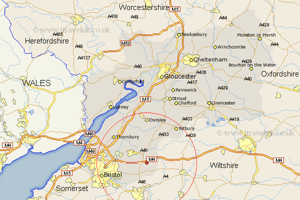
Gloucestershire Map Showing Location of Tormarton
Population: 348
Easting: 376864 Northing: 178002
Latitude: 51.5 Longitude: -2.33
 = Tormarton
Easting: 376864 Northing: 178002
Latitude: 51.5 Longitude: -2.33
= Tormarton
This Tormarton map below is supplied by Google. Use the tools in the top left corner to zoom into street level or zoom out for a road map, you may also need to zoom in to see Tormarton on the map. Click and drag the map to move around. If the map fails to load try and refresh your browser or zoom in or out (+ or -).
Update - it seems Google no longer allow people to use their maps for free! This Tormarton map sometimes loads and sometimes gives a error. I am working on a solution.
Closest 30 Towns or Cities to Tormarton (Population over 500)
Chipping Sodbury 5.07km Marshfield 6.02km Westerleigh 7.16km Wick 8.88km Siston 8.89km Hawkesbury 9.26km Mangotsfield 9.42km Wickwar 9.89km Iron Acton 10.77km Rangeworthy 10.96km Frampton Cotterell 11.02km Winterbourne 11.55km Kingswood 12.12km Bitton 12.29km Charfield 14.2km Wotton-under-Edge 14.87km Wotton under Edge 14.87km Stoke Gifford 15.11km Tytherington 15.21km Cromhall 15.28km Filton 16.25km Patchway 16.56km Thornbury 16.86km Falfield 16.88km Almondsbury 17.07km Alveston 17.74km Bristol 18.18km Dursley 18.54km Olveston 18.61km Tetbury 18.77km