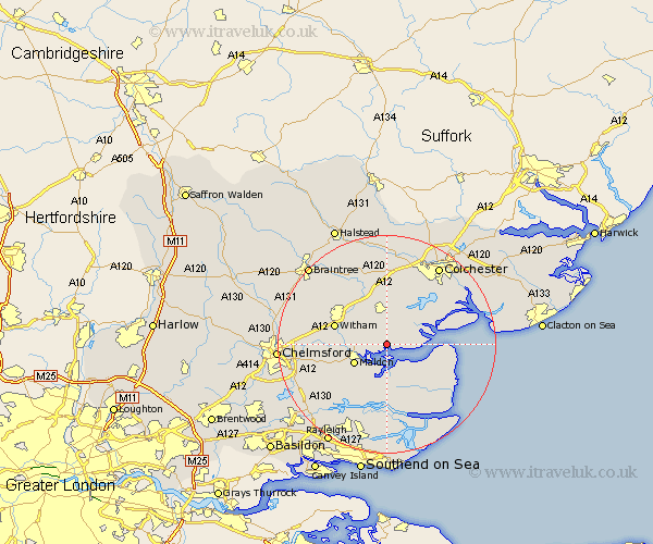
Essex Map Showing Location of Tolleshunt Major
Population: 631
District: Maldon
Easting: 590953 Northing: 209372
Latitude: 51.75 Longitude: 0.77
 = Tolleshunt Major
District: Maldon
Easting: 590953 Northing: 209372
Latitude: 51.75 Longitude: 0.77
= Tolleshunt Major
This Tolleshunt Major map below is supplied by Google. Use the tools in the top left corner to zoom into street level or zoom out for a road map, you may also need to zoom in to see Tolleshunt Major on the map. Click and drag the map to move around. If the map fails to load try and refresh your browser or zoom in or out (+ or -).
Update - it seems Google no longer allow people to use their maps for free! This Tolleshunt Major map sometimes loads and sometimes gives a error. I am working on a solution.
Closest 30 Towns or Cities to Tolleshunt Major (Population over 500)
Goldhanger 2.18km Tolleshunt D'Arcy 2.95km Tolleshunt Knights 3.88km Tollesbury 4.59km Tiptree 6.01km Heybridge 6.03km Maldon 6.83km Malden 6.83km Totham 7.21km Great Totham 7.21km Wickham Bishops 7.81km West Mersea 9.36km Snoreham 9.54km Latchingdon 9.54km Latchingdon and Snoreham 9.54km Birch 9.88km Witham 9.89km Kelvedon 10.34km Woodham Mortimer 10.73km Layer de la Haye 10.89km Tillingham 10.94km Althorne 11.18km Mayland 11.18km Copford 11.35km Rivenhall 11.54km Cold Norton 11.54km Feering 11.64km Peldon 11.8km Southminster 12.03km Hatfield Peverel 12.05km