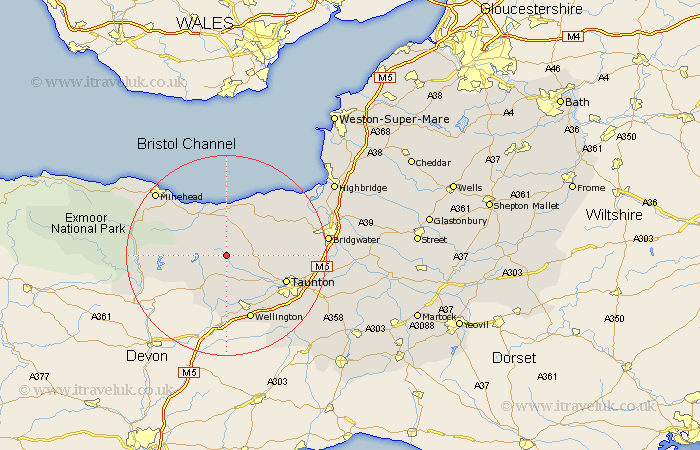
Somerset Map Showing Location of Tolland
Population: 75
District: Taunton Deane
Easting: 310120 Northing: 132395
Latitude: 51.08 Longitude: -3.28
 = Tolland
District: Taunton Deane
Easting: 310120 Northing: 132395
Latitude: 51.08 Longitude: -3.28
= Tolland
This Tolland map below is supplied by Google. Use the tools in the top left corner to zoom into street level or zoom out for a road map, you may also need to zoom in to see Tolland on the map. Click and drag the map to move around. If the map fails to load try and refresh your browser or zoom in or out (+ or -).
Update - it seems Google no longer allow people to use their maps for free! This Tolland map sometimes loads and sometimes gives a error. I am working on a solution.
Closest 30 Towns or Cities to Tolland (Population over 500)
Stogumber 5.68km Wiveliscombe 6.03km Bishops Lydeard 7.23km Milverton 7.76km Williton 8.05km Oake 9.42km Watchet 9.91km Norton Fitzwarren 10.85km Nether Stowey 11.01km Kingston 11.79km Spaxton 12.22km Taunton 12.91km Wellington 13.78km Carhampton 14.5km West Buckland 14.73km Trull 14.89km Stokscourey 15.27km Stoke Courcy 15.27km Stogursey 15.27km Durleigh 16.71km West Monkton 16.72km Pitminster 17.44km Otterhampton 17.84km North Petherton 18.72km Brushford 18.98km Minehead 19.05km Dulverton 19.45km Creech Saint Michael 20.06km Creech St. Michael 20.06km Creech St Michael 20.06km