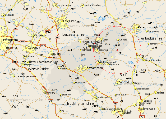
Northamptonshire Map Showing Location of Titchmarsh
Population: 543
District: East Northamptonshire
Easting: 503176 Northing: 279122
Latitude: 52.4 Longitude: -0.48
 = Titchmarsh
District: East Northamptonshire
Easting: 503176 Northing: 279122
Latitude: 52.4 Longitude: -0.48
= Titchmarsh
This Titchmarsh map below is supplied by Google. Use the tools in the top left corner to zoom into street level or zoom out for a road map, you may also need to zoom in to see Titchmarsh on the map. Click and drag the map to move around. If the map fails to load try and refresh your browser or zoom in or out (+ or -).
Update - it seems Google no longer allow people to use their maps for free! This Titchmarsh map sometimes loads and sometimes gives a error. I am working on a solution.
Closest 30 Towns or Cities to Titchmarsh (Population over 500)
Thrapston 3.39km Islip 3.87km Woodford 6.76km Ringstead 7.17km Raunds 8.16km Oundle 9.33km Brigstock 9.67km Stanwick 10.31km Irthlingborough 12.19km Warmington 12.47km Finedon 12.6km Higham Ferrers 13.03km Stanion 13.52km Burton Latimer 13.63km Weldon 13.75km Geddington 14.06km Rushden 14.65km Corby 15.5km Isham 15.72km Kettering 15.83km Nassington 17.28km Irchester 17.99km Wellingborough 18.44km Kings Cliffe 18.57km King's Cliffe 18.57km Gretton 19.34km Broughton 19.58km Cottingham 20.31km Caldecott 20.45km Wollaston 20.82km