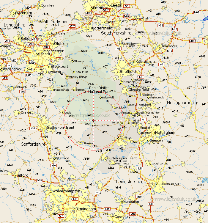
Derbyshire Map Showing Location of Tissington
Population: 158
District: Derbyshire Dales
Easting: 417873 Northing: 350371
Latitude: 53.05 Longitude: -1.73
 = Tissington
District: Derbyshire Dales
Easting: 417873 Northing: 350371
Latitude: 53.05 Longitude: -1.73
= Tissington
This Tissington map below is supplied by Google. Use the tools in the top left corner to zoom into street level or zoom out for a road map, you may also need to zoom in to see Tissington on the map. Click and drag the map to move around. If the map fails to load try and refresh your browser or zoom in or out (+ or -).
Update - it seems Google no longer allow people to use their maps for free! This Tissington map sometimes loads and sometimes gives a error. I am working on a solution.
Closest 30 Towns or Cities to Tissington (Population over 500)
Ashbourne 3.7km Clifton 5.67km Brassington 6.69km Winster 10.8km Wirksworth 11.74km Cromford 12.44km Bonsall 12.46km Middleton 13.02km Youlgreave 13.16km Brailsford 13.59km Matlock Bath 13.79km Darley Dale 15.74km Matlock 16.25km Ambergate Junction Station 16.71km Ambergate 16.71km Crich 17.11km Kirk Langley 17.11km Tansley 17.18km Bakewell 17.26km Doveridge 17.59km Belper 17.92km Church Broughton 18.67km Holbrook 18.68km Heage 19.03km Duffield 19.12km Quarndon 19.17km Derby 20.3km South Wingfield 20.38km Wingfield 20.38km Sudbury 20.41km