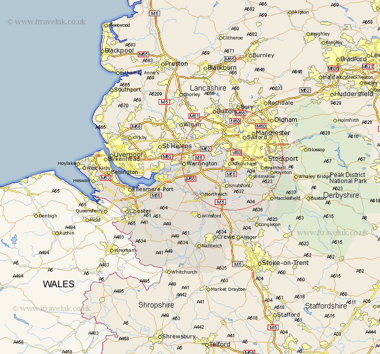
Cheshire Map Showing Location of Timperley
District: Trafford
Easting: 377839 Northing: 389322
Latitude: 53.4 Longitude: -2.33
 = Timperley
Easting: 377839 Northing: 389322
Latitude: 53.4 Longitude: -2.33
= Timperley
This Timperley map below is supplied by Google. Use the tools in the top left corner to zoom into street level or zoom out for a road map, you may also need to zoom in to see Timperley on the map. Click and drag the map to move around. If the map fails to load try and refresh your browser or zoom in or out (+ or -).
Update - it seems Google no longer allow people to use their maps for free! This Timperley map sometimes loads and sometimes gives a error. I am working on a solution.
Closest 30 Towns or Cities to Timperley (Population over 500)
Altrincham 2.16km Sale 2.89km Bowdon 4.31km Partington 5.83km Lymm 7.6km Cheadle 7.73km Mere 9.25km Mobberley 9.33km High Legh 9.53km Glazebrook 9.58km Wilmslow 9.95km Knutsford 11.34km Bramhall 11.66km Stockton Heath 11.88km Stockport 12.15km Risley 12.29km Thelwall 12.3km Alderley Edge 12.95km Culcheth 13.36km Bredbury 14.48km Hazel Grove 14.49km Alderley 14.58km Nether Alderley 14.58km Croft 14.83km Poynton 15.41km Appleton 15.41km Chelford 15.47km Plumbley 15.82km Plumley Station 15.82km Adlington 16.19km