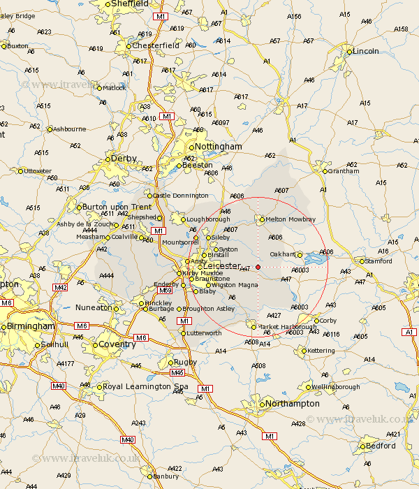
Leicestershire Map Showing Location of Tilton
Population: 483
District: Harborough
Easting: 474436 Northing: 304556
Latitude: 52.63 Longitude: -0.9
 = Tilton
District: Harborough
Easting: 474436 Northing: 304556
Latitude: 52.63 Longitude: -0.9
= Tilton
This Tilton map below is supplied by Google. Use the tools in the top left corner to zoom into street level or zoom out for a road map, you may also need to zoom in to see Tilton on the map. Click and drag the map to move around. If the map fails to load try and refresh your browser or zoom in or out (+ or -).
Update - it seems Google no longer allow people to use their maps for free! This Tilton map sometimes loads and sometimes gives a error. I am working on a solution.
Closest 30 Towns or Cities to Tilton (Population over 500)
Twyford 3.88km Billesdon 4.33km Somerby 5.83km Houghton 5.92km Houghton-on-the-Hill 5.92km Houghton on the Hill 5.92km Gaddesby 8.67km Hallaton 10.3km Queniboro 10.57km Queniborough 10.57km Great Glen 11.66km Frisby 11.99km Frisby-on-the-Wreak 11.99km Frisby on the Wreak 11.99km Kibworth Harcourt 12.46km Kibworth 12.46km Syston 12.54km Rearsby 12.92km Hoby 13km Oadby 13.57km Wigston Magna 14.6km Wigston 14.6km Melton Mowbray 14.88km Birstall 15.08km Leiscester 15.75km Leicester 15.75km Sileby 16.36km Glen Parka 16.4km Glen Parva 16.4km Great Easton 16.46km